


18 km | 27 km-effort


Usuario


Aplicación GPS de excursión GRATIS
 SityTrail
IGN / Institutos geográficos
SityTrail World
El mundo es suyo
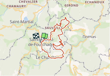
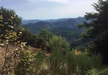
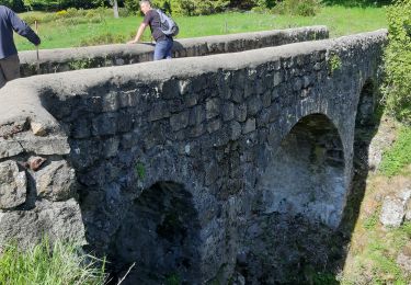
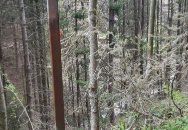
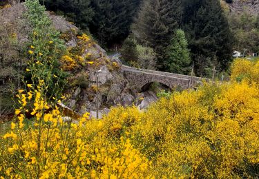
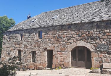
Ruta A pie de 17,8 km a descubrir en Auvergne-Rhône-Alpes, Ardecha, Saint-Andéol-de-Fourchades. Esta ruta ha sido propuesta por jeanneruols.
Au SE de St Martial , tracé qui va vers Le Chambon et qui contourne le Sommet de la Fare , puis on redescend vers le col de Joux
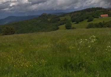
Senderismo
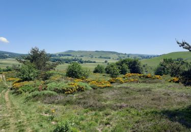
Senderismo
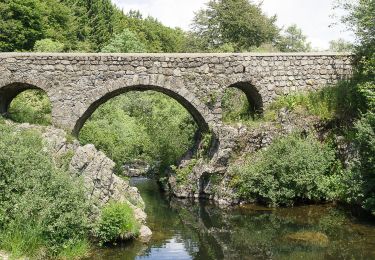
Senderismo
Senderismo
Senderismo
Senderismo
Senderismo

Senderismo
Senderismo