


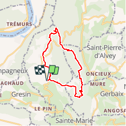

18,1 km | 26 km-effort


Usuario


Aplicación GPS de excursión GRATIS
 SityTrail
IGN / Institutos geográficos
SityTrail World
El mundo es suyo
Ruta Senderismo de 12 km a descubrir en Auvergne-Rhône-Alpes, Saboya, Saint-Genix-les-Villages. Esta ruta ha sido propuesta por GGsavoie.
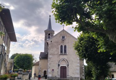
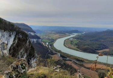
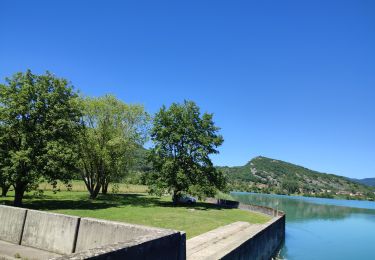
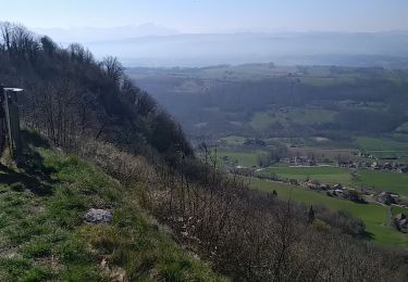
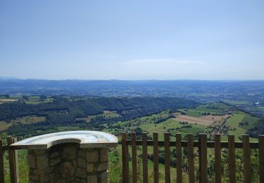
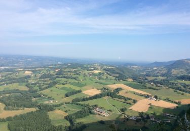
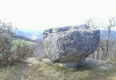
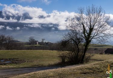
Au départ de Saint Maurice de Rotherens (Mairie), belle boucle de difficultés variées mais majoritairement facile. Beaux points de vue.
Une belle rando de début de saison.
Senderismo
Senderismo
Paseo ecuestre
Senderismo
Senderismo
Paseo ecuestre
Senderismo
Senderismo
Senderismo