


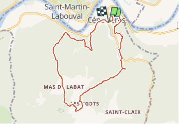


19,4 km | 28 km-effort


Usuario


Aplicación GPS de excursión GRATIS
 SityTrail
IGN / Institutos geográficos
SityTrail World
El mundo es suyo
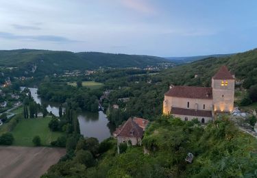
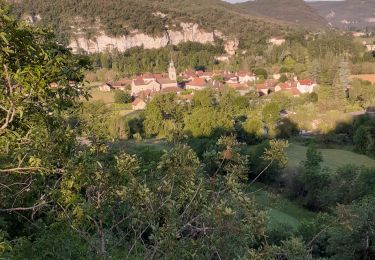
Ruta Senderismo de 9,6 km a descubrir en Occitania, Lot, Cénevières. Esta ruta ha sido propuesta por gct.
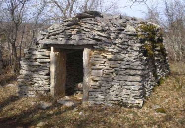
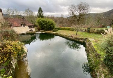
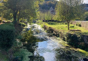
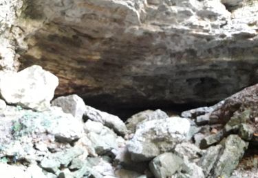
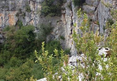
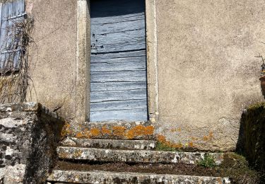
Points de vue sur la vallée du Lot, dolmen, pigeonnier, cazelles, puits, maisons typiques, résurgence du trou Madame, château de Cenevières
Senderismo
Senderismo
Senderismo
Senderismo
Senderismo

Senderismo
Senderismo
Senderismo
Senderismo