


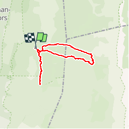

14,4 km | 21 km-effort


Usuario


Aplicación GPS de excursión GRATIS
 SityTrail
IGN / Institutos geográficos
SityTrail World
El mundo es suyo
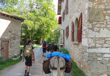
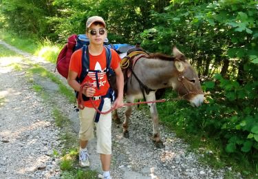
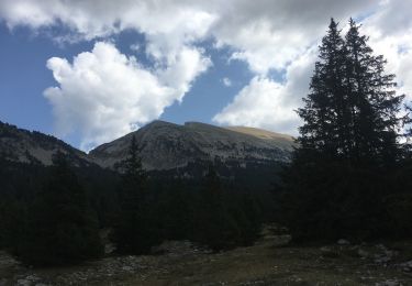
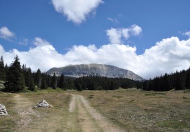
Ruta Senderismo de 12,8 km a descubrir en Auvergne-Rhône-Alpes, Drôme, Saint-Agnan-en-Vercors. Esta ruta ha sido propuesta por germainjy.
je n'arrive plus a charger les cartes IGN. Le nouveau sity train plante. Inutilisable . Quel dommage d'avoir remplace un programme qui fonctionnait par un programme merdique.
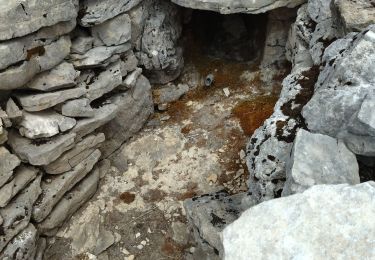
Senderismo

Senderismo

Senderismo
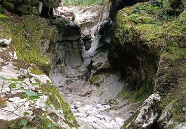
Senderismo
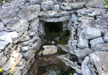
Senderismo
Senderismo
Senderismo
Senderismo
Senderismo