


4,6 km | 6,2 km-effort

Usuario


Aplicación GPS de excursión GRATIS
 SityTrail
IGN / Institutos geográficos
SityTrail World
El mundo es suyo
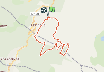
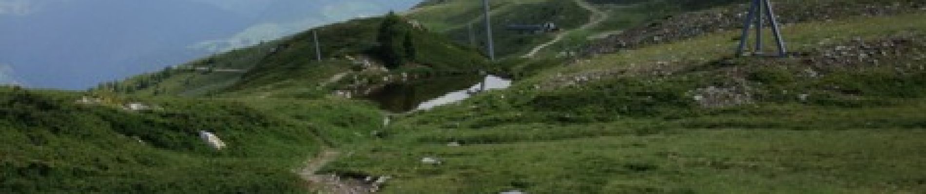
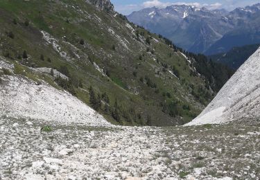
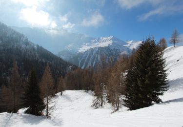
Ruta Senderismo de 8,8 km a descubrir en Auvergne-Rhône-Alpes, Saboya, Bourg-Saint-Maurice. Esta ruta ha sido propuesta por gildas.lemasson.
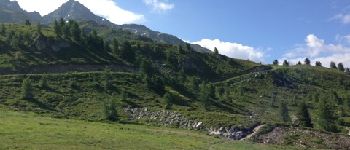
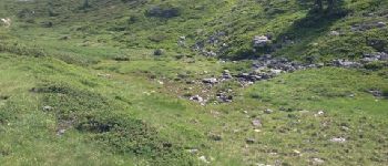
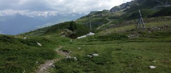
Une montée un peu rude (500m ), mais pour le plaisir de traverser ce joli espace botanique. Le lac est plutôt un petit mariguot. Descente très cool, contournement du golf pour enfin traverser le parc aventure au dessus de la piscine des Arcs 1800.


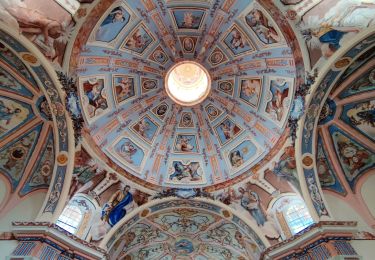
Senderismo

Senderismo
Esquí de fondo
Esquí de fondo
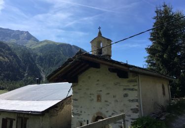
Senderismo
Senderismo
Senderismo
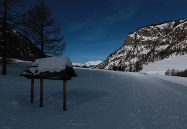
Raquetas de nieve
Raquetas de nieve