


12,7 km | 13,4 km-effort


Usuario


Aplicación GPS de excursión GRATIS
 SityTrail
IGN / Institutos geográficos
SityTrail World
El mundo es suyo
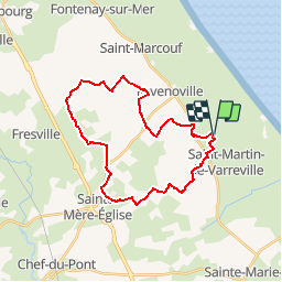
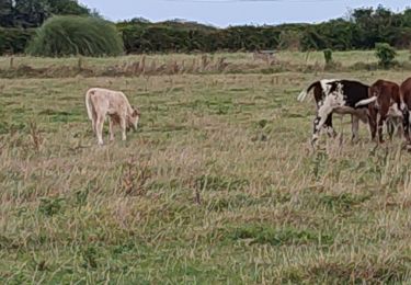
Ruta Caballo de 26 km a descubrir en Normandía, Mancha, Saint-Germain-de-Varreville. Esta ruta ha sido propuesta por Bajac.
Boucle:
Départ de Saint Germain de Varreville, pique nique à la batterie d'Azerville, décroché par sainte Mère Eglise au choix...et retour à SGV
Senderismo
Bici eléctrica
Bici eléctrica

Caballo
Senderismo
Caballo
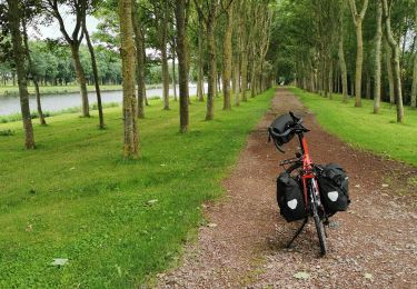
Cicloturismo
Caballo

Senderismo