


11,4 km | 24 km-effort


Usuario GUIDE


Aplicación GPS de excursión GRATIS
 SityTrail
IGN / Institutos geográficos
SityTrail World
El mundo es suyo
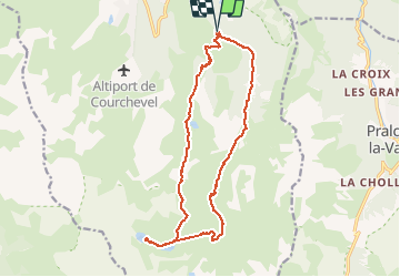
Ruta Senderismo de 18 km a descubrir en Auvergne-Rhône-Alpes, Saboya, Courchevel. Esta ruta ha sido propuesta por rvapeldo.
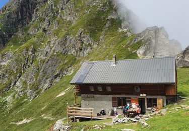
Très beaux lacs glaciaires, deux refuges proches. Vue éblouissante sur le retour mais passage par les pistes avant la descente vers le point de départ. Difficulté moyenne. Possibilité de faire un stop à un refuge puis faite le petit Mont Blanc.

Senderismo

Senderismo

Senderismo

Senderismo

Senderismo
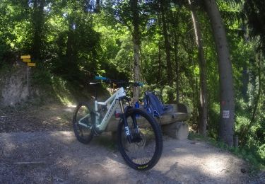
Bici de montaña
Senderismo

Senderismo
Senderismo
Très belle vue au retour sur le mont blanc, jolie balade !!