


21 km | 28 km-effort

Usuario


Aplicación GPS de excursión GRATIS
 SityTrail
IGN / Institutos geográficos
SityTrail World
El mundo es suyo
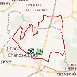
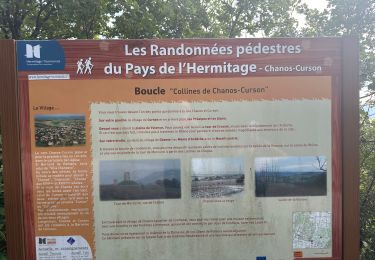
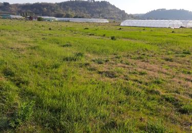
Ruta Senderismo de 10,4 km a descubrir en Auvergne-Rhône-Alpes, Drôme, Chanos-Curson. Esta ruta ha sido propuesta por bernadette revoux.
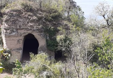
D'une colline à l'autre, entre vergers et vignes, découverte de la campagne de Chanos-Curson et vallée de Veaunes.
Une des rando de : Pays de l'Hermitage.
J'avais tracé le parcours à partir des indications données dans le topo-guide. Et j'ai suivi ce tracé. C'était parfait !
Je n'ai mis que 2h 15.
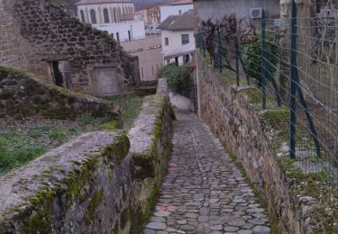
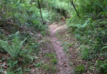
C'est un parcours facile et très agréable


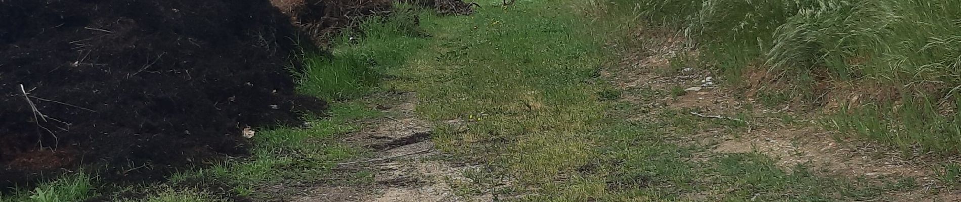
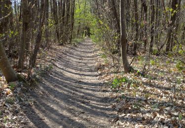
25 fotos en total. Haga clic en una foto para mostrarlas todas en la galería.
Senderismo

Senderismo
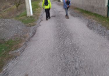
Senderismo

sport
Senderismo
Senderismo
Senderismo
Senderismo
Senderismo
Super