


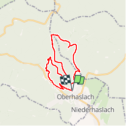

14,9 km | 21 km-effort

Usuario


Aplicación GPS de excursión GRATIS
 SityTrail
IGN / Institutos geográficos
SityTrail World
El mundo es suyo
Ruta Senderismo de 13,1 km a descubrir en Gran Este, Bajo-Rin, Oberhaslach. Esta ruta ha sido propuesta por oscar1.
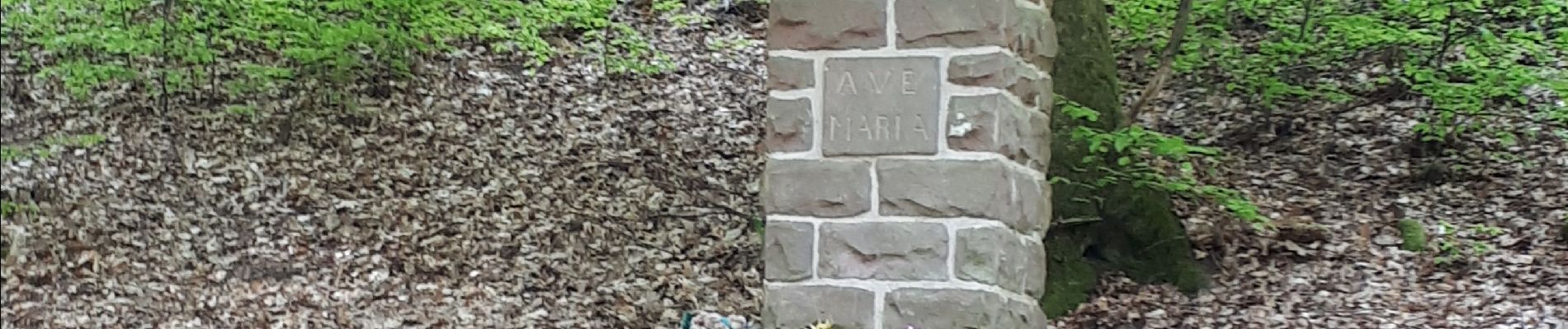
Prendre la rue des Écoles, dans le prolongement du début du parcours, et se diriger vers le parking situé non loin du départ


Senderismo

Paseo ecuestre

Senderismo

Bici de montaña

Bici de montaña

Senderismo
Paseo ecuestre

Paseo ecuestre
Senderismo