


16,3 km | 21 km-effort

Usuario GUIDE


Aplicación GPS de excursión GRATIS
 SityTrail
IGN / Institutos geográficos
SityTrail World
El mundo es suyo
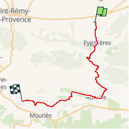
Ruta Paseo ecuestre de 24 km a descubrir en Provenza-Alpes-Costa Azul, Bocas del Ródano, Eygalières. Esta ruta ha sido propuesta por holtzv.
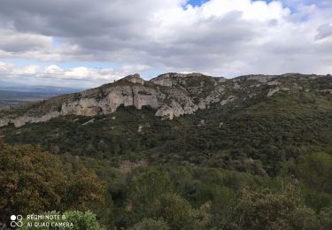
Passage par Eygalières et Aureille.
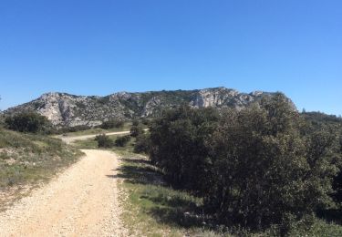
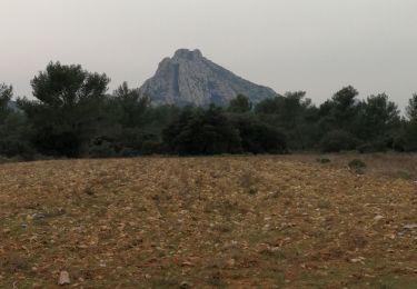
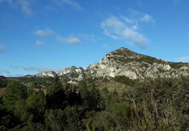
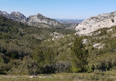
Point de vue sur les Caisses de Servanne la Castellas

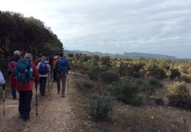
Senderismo
Senderismo

Senderismo
Senderismo
Senderismo
Senderismo
Senderismo

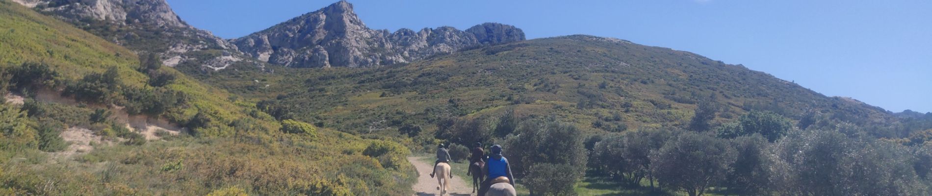
Caballo
Senderismo