


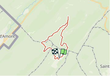

15,1 km | 21 km-effort


Usuario


Aplicación GPS de excursión GRATIS
 SityTrail
IGN / Institutos geográficos
SityTrail World
El mundo es suyo
Ruta Senderismo de 12,2 km a descubrir en Valdia, District de Nyon, Bassins. Esta ruta ha sido propuesta por tonymeyer.
Départ au parking en dessous de Rionde Dessus.
Motée d'abord en pâturage puis en forêt jusqu'à la Petite Chaux, puis en forêt jusqu'à la Place d'Armes.
100m après le croisement, prendre sentier à droite et rester à droite.
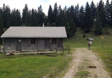
Belle balade le long de la crête en passant par le Chalet à Roch Dessus, puis descente jusqu'à la cabane de la Pierre à Écusson.
Retour 500m sur le même chemin, prendre à gauche à l'altitude 1340m.
1.2km plus loin au croisement, prendre sentier à gauche qui descend et sortira de la forêt.
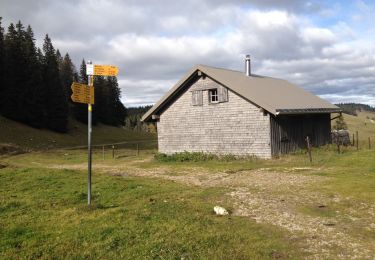
Le chalet du Pré aux Veaux sera sur la gauche après encore 1 km, où on peut se ravitailler.
Descendre sur le chemin jusqu'à la route, la prendre à droite et la suivre jusqu'au retour au parking.

Senderismo

Senderismo

Senderismo

Senderismo

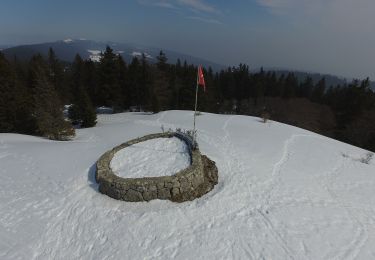
Raquetas de nieve
A pie
Senderismo
Senderismo
Raquetas de nieve