


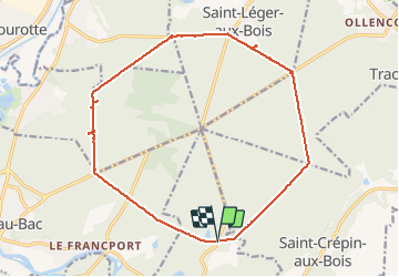


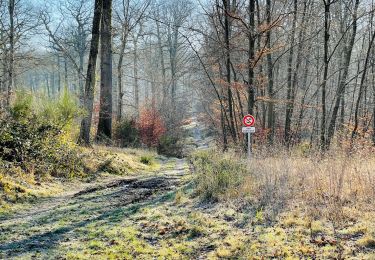
9,6 km | 12,8 km-effort
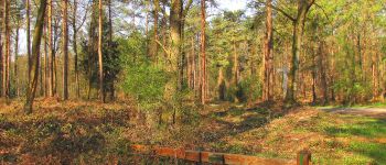
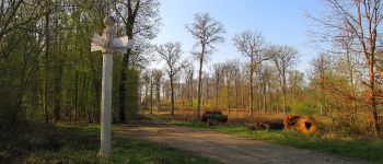
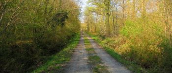
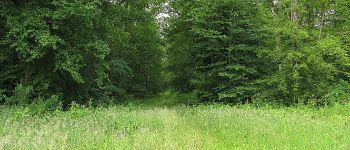
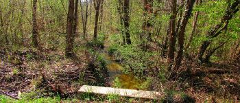
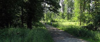
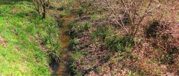
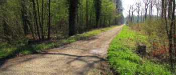
vive la rando en forêt


Aplicación GPS de excursión GRATIS
 SityTrail
IGN / Institutos geográficos
SityTrail World
El mundo es suyo
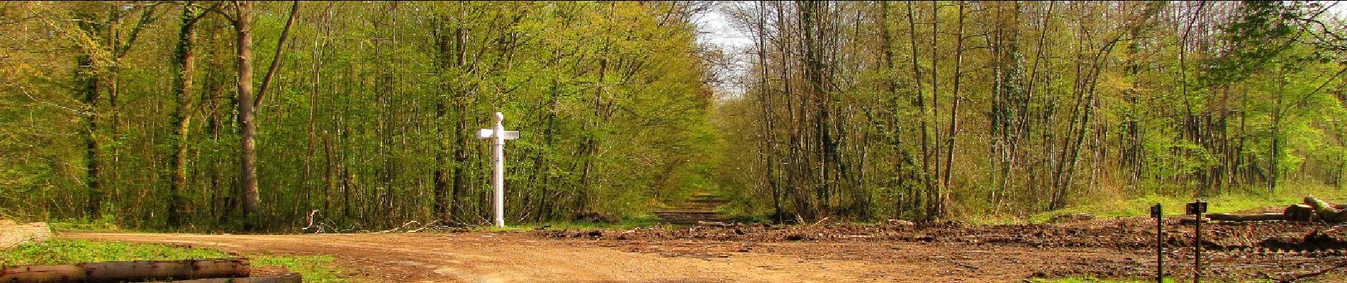
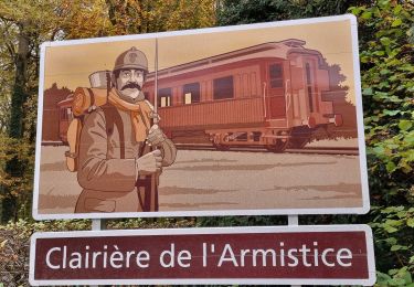
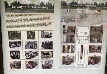
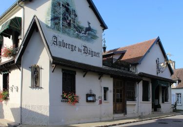
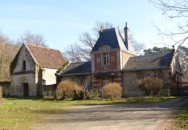
Ruta Senderismo de 16,9 km a descubrir en Alta Francia, Oise, Rethondes. Esta ruta ha sido propuesta por en forêt de Laigue.
voir aussi mes blogs:
https://foret-de-laigue.over-blog.com/2019/08/randonnee-en-foret-de-laigue_le-grand-octogone.html
ma communauté :https://www.sitytrail.com/fr/communities/1153-en-foret-de-laigue/
04/ 2019
Batterie pour iphone indispensable.
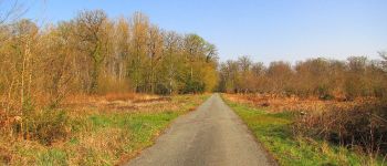
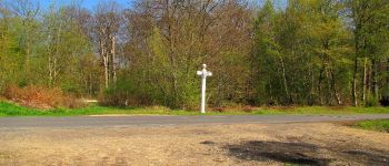
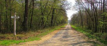
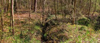
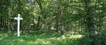
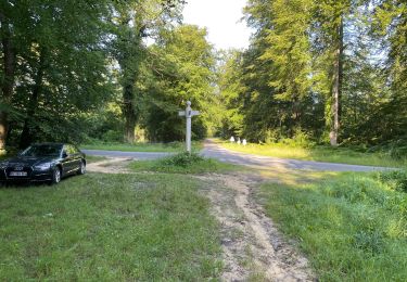
Au départ du carrefour du Vivier du Grès, faire le Grand Octogone en tournant dans le sens des aiguilles d'une montre. Passage au chêne aux Mares prés du carrefour du Plessis-Brion.


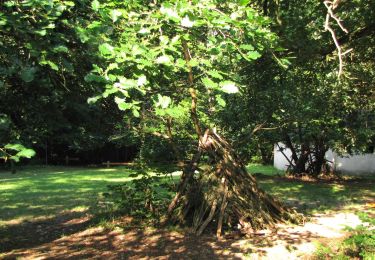
203 fotos en total. Haga clic en una foto para mostrarlas todas en la galería.
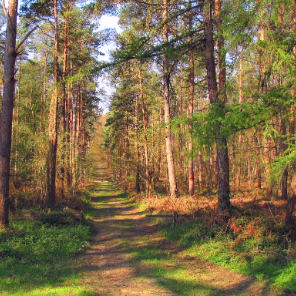
Senderismo
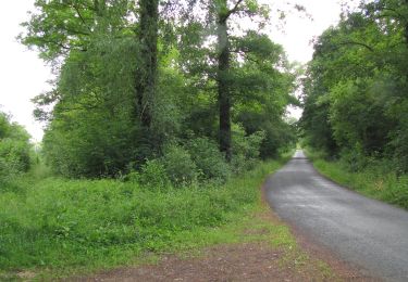
Senderismo
Senderismo
Senderismo
Senderismo
A pie
A pie
Senderismo
Senderismo