


10,9 km | 17,9 km-effort

Usuario


Aplicación GPS de excursión GRATIS
 SityTrail
IGN / Institutos geográficos
SityTrail World
El mundo es suyo
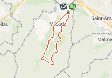
Ruta Senderismo de 6,1 km a descubrir en Gran Este, Alto Rin, Mitzach. Esta ruta ha sido propuesta por Richard68500.
Mitzach, village rural situé au fond de la vallée de St Amarin et abritant 400
âmes, peut être fier d’être doté d’un superbe sentier des poètes où s’exprime une profonde volonté de sauvegarder la richesse de notre dialecte alsacien.
 - Photo 1")
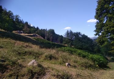
 - Photo 2")
 - Photo 3")

Senderismo

Senderismo

Senderismo


Senderismo

Senderismo
Senderismo
Senderismo
Senderismo