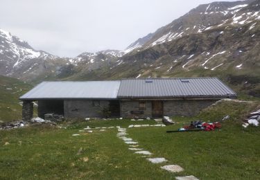
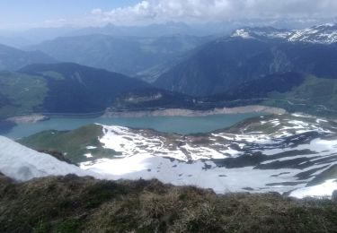
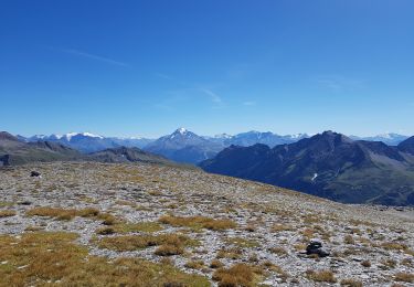
16,7 km | 28 km-effort
TMB J3
Lustou
Usuario
Longitud
21 km
Altitud máxima
2513 m
Desnivel positivo
1017 m
Km-Effort
34 km
Altitud mínima
1551 m
Desnivel negativo
958 m
Boucle
No
Fecha de creación :
2019-04-10 20:15:09.467
Última modificación :
2019-04-13 19:21:32.928
6h58
Dificultad : Muy difícil
Aplicación GPS de excursión GRATIS
A propósito
Ruta Senderismo de 21 km a descubrir en Auvergne-Rhône-Alpes, Saboya, Bourg-Saint-Maurice. Esta ruta ha sido propuesta por Lustou.
Localización
País:
France
Región :
Auvergne-Rhône-Alpes
Departamento/provincia :
Saboya
Municipio :
Bourg-Saint-Maurice
Localidad:
Unknown
Salida:(Dec)
Salida:(UTM)
323588 ; 5062938 (32T) N.
Comentarios
Excursiones cerca
suuntoapp-Hiking-2024-09-10T06-18-18Z
Senderismo
Muy difícil
Bourg-Saint-Maurice,
Auvergne-Rhône-Alpes,
Saboya,
France
6h 27min
No
autour du lac de Mya
Esquí de fondo
Fácil
Bourg-Saint-Maurice,
Auvergne-Rhône-Alpes,
Saboya,
France
10,1 km | 25 km-effort
4h 42min
No
Passage d'Arpire, col Bresson, brèche de Parozan
Esquí de fondo
Difícil
Beaufort,
Auvergne-Rhône-Alpes,
Saboya,
France
17,6 km | 39 km-effort
9h 4min
Sí
le lac de Mya, le col des Fours et la tête sud des Fours
Senderismo
Difícil
Bourg-Saint-Maurice,
Auvergne-Rhône-Alpes,
Saboya,
France
12,3 km | 26 km-effort
6h 20min
Sí
Ref de la Laie vers refuge du Presset
Senderismo
Medio
(1)
Beaufort,
Auvergne-Rhône-Alpes,
Saboya,
France
10,6 km | 19,8 km-effort
5h 17min
No
Rocher du Vent 7,8 km -570 m +
Senderismo
Difícil
Beaufort,
Auvergne-Rhône-Alpes,
Saboya,
France
7,8 km | 15,3 km-effort
5h 40min
Sí
Les chapieux-col des four
Senderismo
Difícil
Bourg-Saint-Maurice,
Auvergne-Rhône-Alpes,
Saboya,
France
16,4 km | 32 km-effort
3h 41min
Sí
Col et lac du grand fond
Senderismo
Muy difícil
Beaufort,
Auvergne-Rhône-Alpes,
Saboya,
France
13,3 km | 23 km-effort
5h 15min
Sí
Col de la Sauce, Rocher du Vent
Senderismo
Fácil
Beaufort,
Auvergne-Rhône-Alpes,
Saboya,
France
9,1 km | 17,6 km-effort
3h 51min
Sí