


5,2 km | 6,4 km-effort

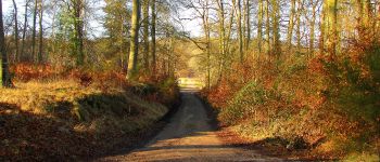
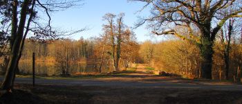
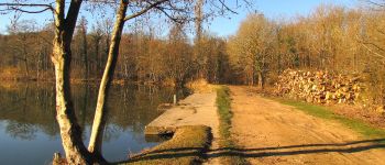
mes randos en forêt


Aplicación GPS de excursión GRATIS
 SityTrail
IGN / Institutos geográficos
SityTrail World
El mundo es suyo
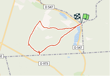
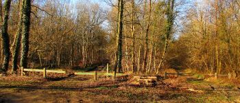
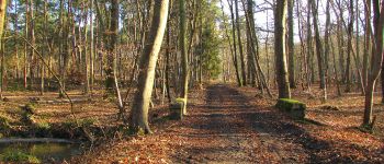
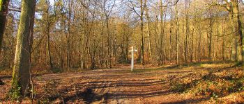
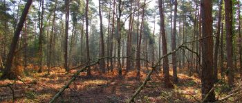
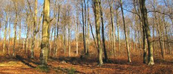
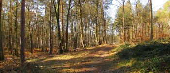
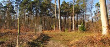
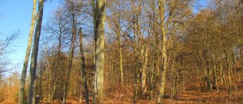
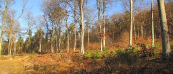
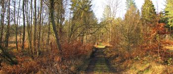
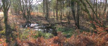
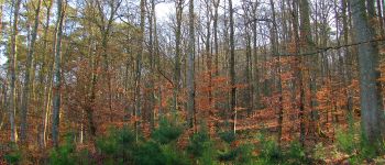
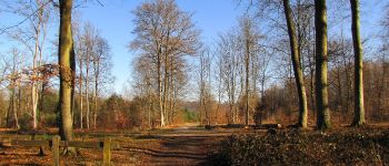
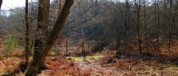
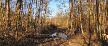
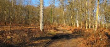
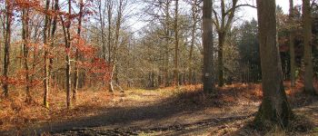
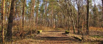
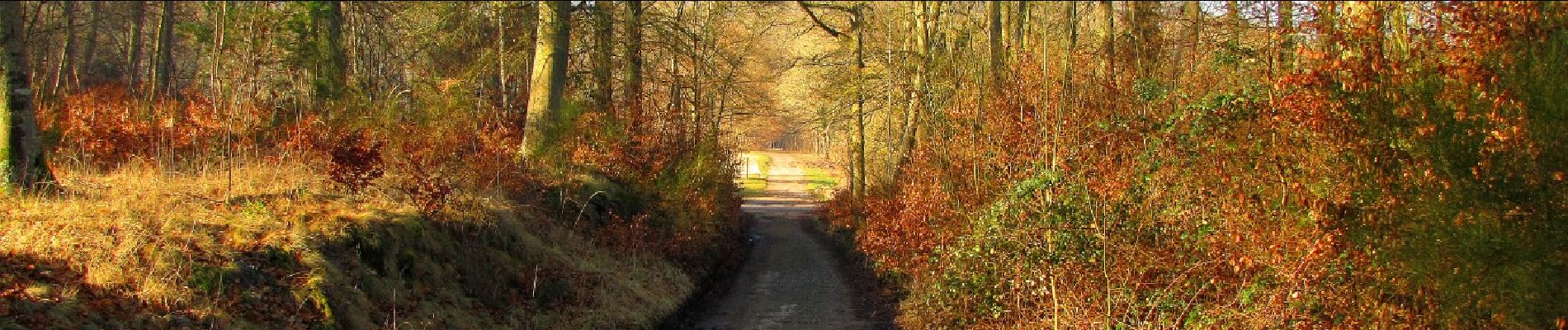
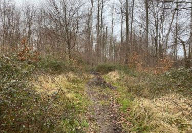
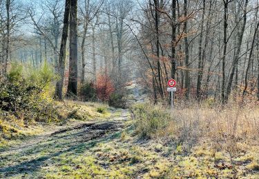
Ruta Senderismo de 6,5 km a descubrir en Alta Francia, Oise, Vieux-Moulin. Esta ruta ha sido propuesta por en forêt de Compiègne.
voir aussi mon blog: http://foret-de-compiegne.over-blog.com/tag/randonnees/
02/ 2019
batterie pour iphone conseillée. Rando facile.
objectif: faire les Tournantes du Mont Saint-Pierre.
Au départ du carrefour des étangs, suivre la Route des étangs Saint-Pierre (voir le chêne sous Saint-Pierre) puis continuer sur la Route Tournante sous Saint-Pierre pour revenir au point de départ.


88 fotos en total. Haga clic en una foto para mostrarlas todas en la galería.

A pie
A pie

Senderismo

Senderismo
Senderismo
Senderismo
Senderismo
Senderismo

A pie