


21 km | 29 km-effort


Usuario


Aplicación GPS de excursión GRATIS
 SityTrail
IGN / Institutos geográficos
SityTrail World
El mundo es suyo
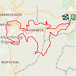
Ruta Paseo ecuestre de 23 km a descubrir en Gran Este, Bajo-Rin, Romanswiller. Esta ruta ha sido propuesta por depoucquesElisabeth.
Belle sortie avec des départs possibles du fuchsloch ou Wangenbourg
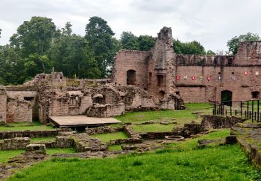
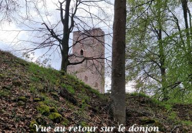
en passant par le château et ses barres d'attaches, par le heidenschlos avec table et banc, le Rothfelsen également avec table et banc, Wangenbourg , bischofslaeger ou il y a une table et des bancs, les 3 forestiers avec barre d'attache.
Paseo ecuestre

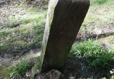
Senderismo

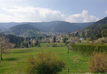
Senderismo
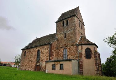
Senderismo
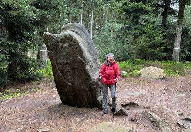
Senderismo
Senderismo
Senderismo
A pie
Senderismo