


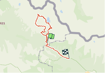

7,8 km | 16,3 km-effort


Usuario


Aplicación GPS de excursión GRATIS
 SityTrail
IGN / Institutos geográficos
SityTrail World
El mundo es suyo
Ruta Senderismo de 13 km a descubrir en Provenza-Alpes-Costa Azul, Alpes Marítimos, Valdeblore. Esta ruta ha sido propuesta por rubentha.
Attention :
* le GPS s'est mis en marche au col de Salèse mais la promenade démarre au parking,
* une grande partie du parcours se déroule hors sentier (cailloux instables ... etc ...).

Senderismo

Senderismo

A pie

A pie

A pie

Senderismo

Senderismo
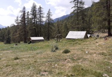
Senderismo
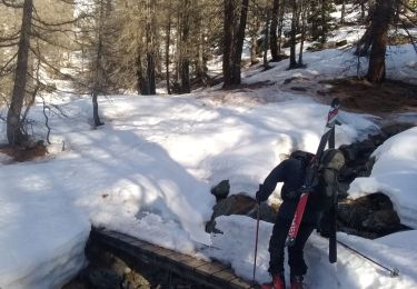
Esquí de fondo