


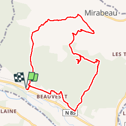

14,5 km | 21 km-effort

Usuario


Aplicación GPS de excursión GRATIS
 SityTrail
IGN / Institutos geográficos
SityTrail World
El mundo es suyo
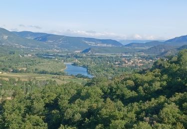
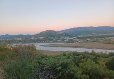
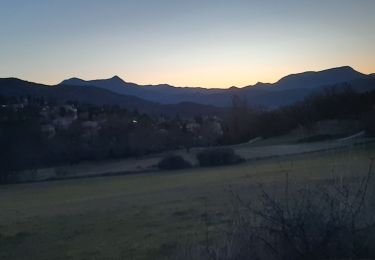
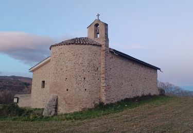
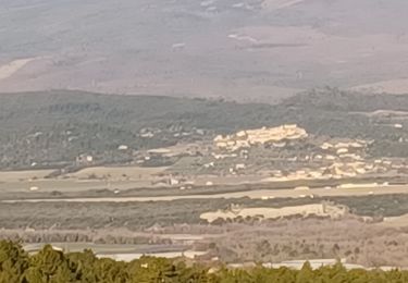
Ruta Senderismo de 11,5 km a descubrir en Provenza-Alpes-Costa Azul, Alpes de Alta Provenza, Mirabeau. Esta ruta ha sido propuesta por lviallet.
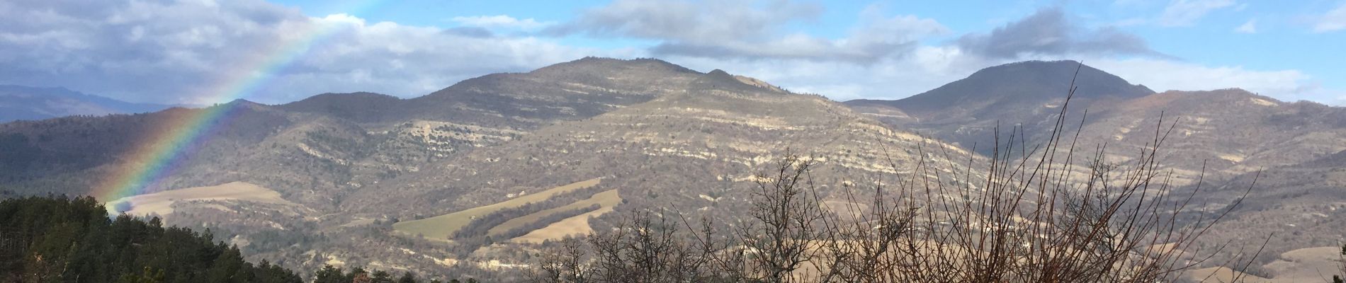
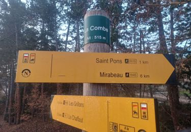
Attention: Montée dans le lit d'un torrent. Ne pas faire cette randonnée si risque d'orage.
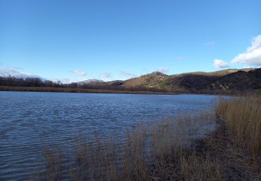
Faite le 27/01/2019


Senderismo
Senderismo
Senderismo
Senderismo
Senderismo
Senderismo
Senderismo
Senderismo
Senderismo