


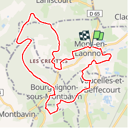


5,3 km | 6,2 km-effort
Randonnées de RandoFamili


Aplicación GPS de excursión GRATIS
 SityTrail
IGN / Institutos geográficos
SityTrail World
El mundo es suyo
Ruta Senderismo de 10,6 km a descubrir en Alta Francia, Aisne, Mons-en-Laonnois. Esta ruta ha sido propuesta por Rando Famili.
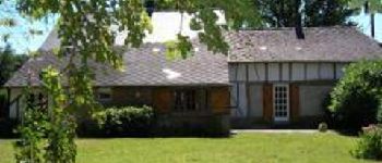
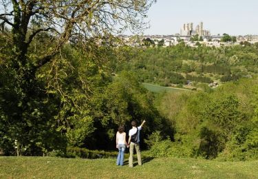
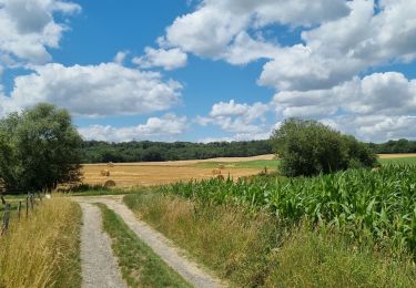
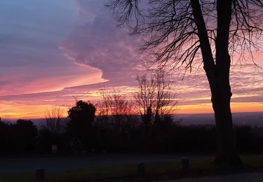
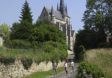
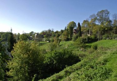
Au sud de la cité médiévale de Laon, en plein coeur de la Picardie, flânez sur les plus beaux sentiers de randonnée.
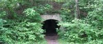
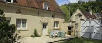
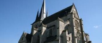
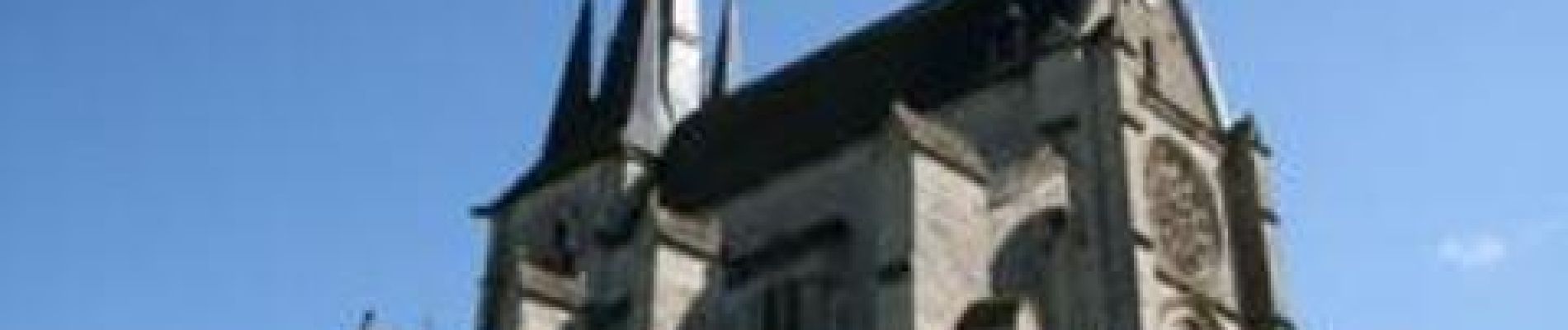
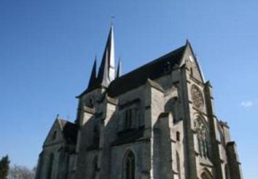
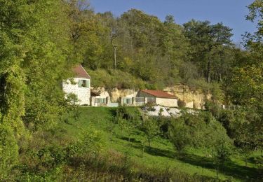
Le chemin se fait champêtre, architectural ou social, selon qu'il nous conduit des creuttes aux vendangeoirs, ou de l'église de Mons à celle de Royaucourt, en passant par Bourguignon, le village des trois frères Le Nain, peintres du XVIIe siècle réputés pour leurs portraits paysans.


Senderismo
Senderismo
Senderismo
Senderismo
Senderismo
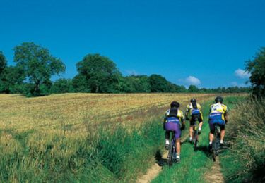
Bici de montaña
Senderismo
Senderismo
Senderismo
tres bien