


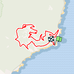

10,4 km | 17,5 km-effort

Usuario


Aplicación GPS de excursión GRATIS
 SityTrail
IGN / Institutos geográficos
SityTrail World
El mundo es suyo
Ruta A pie de 11,7 km a descubrir en Provenza-Alpes-Costa Azul, Var, Saint-Raphaël. Esta ruta ha sido propuesta por domi06.
Départ de la pointe de l'observatoire. Rocher de St Barthelemy. Direction col du Pilon, AR grotte de la Chapelle. Pic du Cap Roux . Descente par Col du Cap Roux.
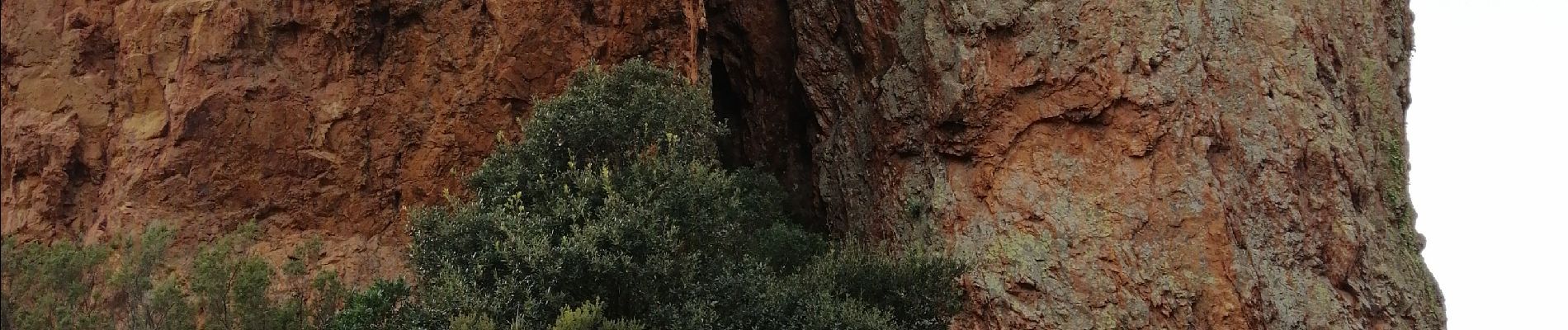
Magnifiques points de vue tout au long du parcours
 - Photo 1")
 - Photo 2")
 - Photo 3")
 - Photo 4")
 - Photo 5")
 - Photo 6")

Senderismo

Senderismo

Senderismo

Senderismo

Senderismo

Senderismo

Senderismo

Senderismo
Senderismo