


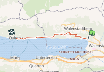

28 km | 48 km-effort


Usuario


Aplicación GPS de excursión GRATIS
 SityTrail
IGN / Institutos geográficos
SityTrail World
El mundo es suyo
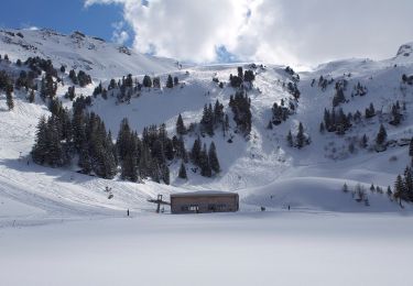
Ruta Otra actividad de 7,9 km a descubrir en San Galo, Wahlkreis Sarganserland, Walenstadt. Esta ruta ha sido propuesta por jschna.
Mit der Bahn auf den Chäserrugg - wundeerbare Aussicht ins Sarganserland und auf den Säntis (Steinbockkolonie) - der erste Teil ist etwas steil und steinig, dann aber leicht und gut zum Gehen bis zur Gamsalp, wo der Wirt - Dres Forrer die Gäste verwöhnt.

Senderismo
A pie

A pie
A pie
A pie

A pie
A pie

A pie
A pie