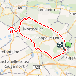

27 km | 40 km-effort

Usuario


Aplicación GPS de excursión GRATIS
 SityTrail
IGN / Institutos geográficos
SityTrail World
El mundo es suyo
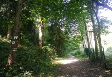
Ruta Senderismo de 16,3 km a descubrir en Gran Este, Alto Rin, Le Haut-Soultzbach. Esta ruta ha sido propuesta por Richard68500.
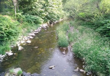
Le lac de la Seigneurie vous le offre un paysage de grande qualité, entouré de forêts de sapins et de somptueuses hêtraies
Le site est équipé d'aires de jeux pour les enfants, de terrains de boules et de volley et d'une aire de pique-nique.
 - Photo 1")
 - Photo 2")
 - Photo 3")
 - Photo 4")
 - Photo 5")

Senderismo

Senderismo

A pie

A pie

Senderismo

Senderismo

Bici de montaña