


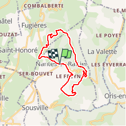

13,1 km | 27 km-effort

Usuario


Aplicación GPS de excursión GRATIS
 SityTrail
IGN / Institutos geográficos
SityTrail World
El mundo es suyo
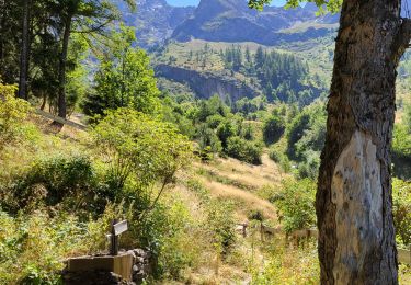
Ruta Senderismo de 13,9 km a descubrir en Auvergne-Rhône-Alpes, Isère, Nantes-en-Rattier. Esta ruta ha sido propuesta por floup6138.
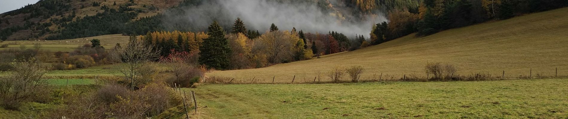
jolie promenade automnale avec de très beaux paysages.
chemin bien balisé attention aux derniers kilomètres la descente est abrupte.
difficulté facile à moyenne. un car ne peut rester stationner toute la journée au point de départ


Senderismo

Senderismo

Bici de carretera
Esquí de fondo
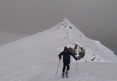
Esquí de fondo
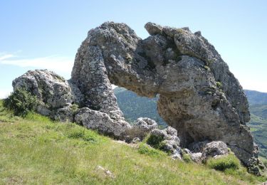
Senderismo
Bici de montaña
Senderismo
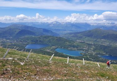
Senderismo