


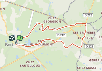

6 km | 7,2 km-effort

Usuario GUIDE


Aplicación GPS de excursión GRATIS
 SityTrail
IGN / Institutos geográficos
SityTrail World
El mundo es suyo
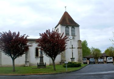
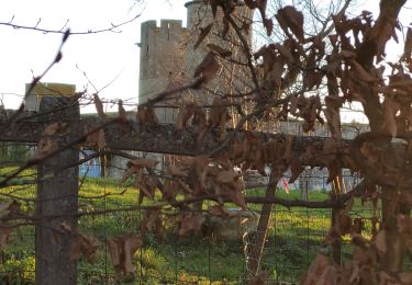
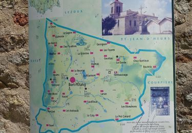
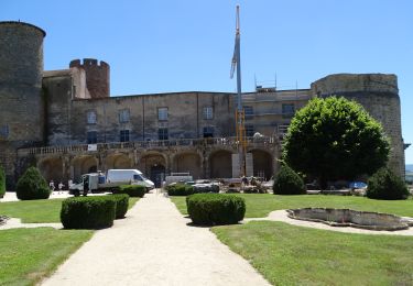
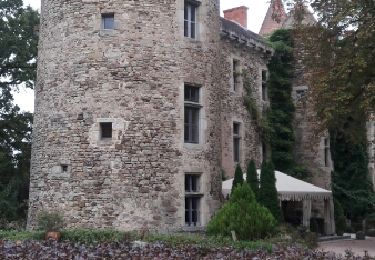
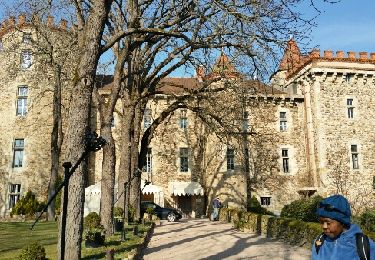
Ruta Senderismo de 9,4 km a descubrir en Auvergne-Rhône-Alpes, Puy-de-Dôme, Bort-l'Étang. Esta ruta ha sido propuesta por jagarnier.
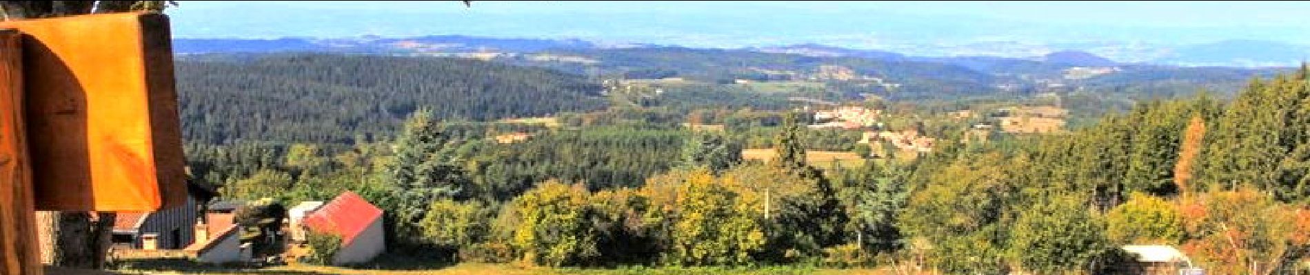
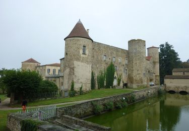
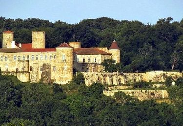
Entre les étangs et le bois de la Faye, de nombreux points de vue sur les monts du Forez, Pierre-sur-Haute, le Puy-de-Dôme, le château de Mauzun.

A pie
Senderismo
Senderismo

A pie
Senderismo
Senderismo
Senderismo
Senderismo
Senderismo