


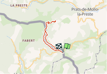

14,5 km | 24 km-effort

Usuario


Aplicación GPS de excursión GRATIS
 SityTrail
IGN / Institutos geográficos
SityTrail World
El mundo es suyo
Ruta Senderismo de 11,6 km a descubrir en Cataluña, Gerona, Molló. Esta ruta ha sido propuesta por Richard68500.
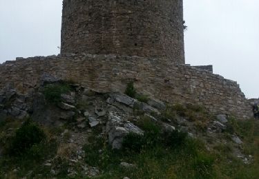
La tour de Mir est la principale tour de surveillance de Prats-de-Mollo. Elle faisait partie du réseau de surveillance de la région à l'époque des rois de Majorque. Elle se trouve à 1540m d'altitude et sur la ligne de crête de la frontière Franco Espagnole.
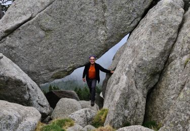
 - Photo 1")
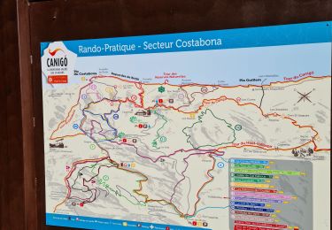
 - Photo 2")
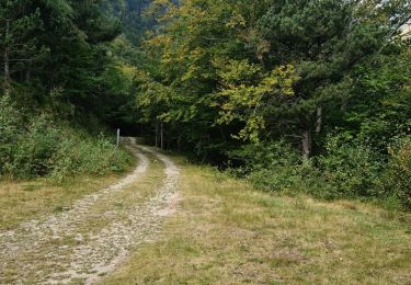
 - Photo 3")
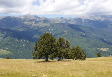
 - Photo 4")
 - Photo 5")
 - Photo 6")
 - Photo 7")
 - Photo 8")
 - Photo 9")
Senderismo
Senderismo
Senderismo
Senderismo
Senderismo
Senderismo
Senderismo
Senderismo
Senderismo