


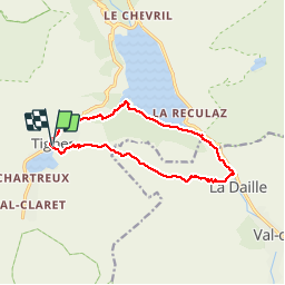


12,6 km | 20 km-effort

Usuario GUIDE


Aplicación GPS de excursión GRATIS
 SityTrail
IGN / Institutos geográficos
SityTrail World
El mundo es suyo
Ruta Senderismo de 12,8 km a descubrir en Auvergne-Rhône-Alpes, Saboya, Tignes. Esta ruta ha sido propuesta por Alfredy.
Une randonnée assez difficile. Beaux paysages. On longe la rivière de l'Isère puis le lac de Chevryl et enfin on remonte en longeant de belles cascades. Top !


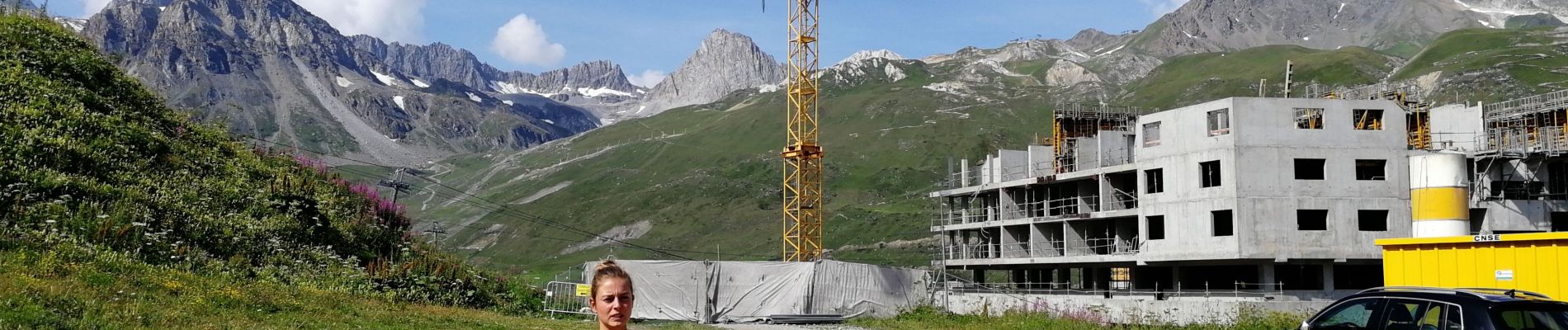
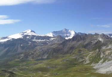
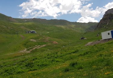
27 fotos en total. Haga clic en una foto para mostrarlas todas en la galería.

Senderismo

Senderismo
Senderismo

Senderismo

Senderismo

Otra actividad

Senderismo

Senderismo
Bici de montaña