


35 km | 38 km-effort


Usuario


Aplicación GPS de excursión GRATIS
 SityTrail
IGN / Institutos geográficos
SityTrail World
El mundo es suyo
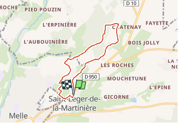
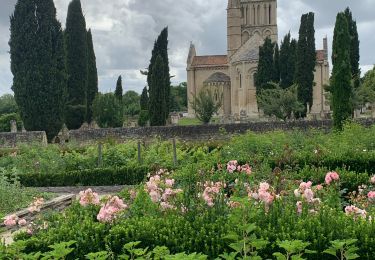
Ruta Senderismo de 6,5 km a descubrir en Nueva Aquitania, Deux-Sèvres, Melle. Esta ruta ha sido propuesta por dan79.
Circuit proposé par la mairie de Saint-Léger-de-la-Martinière et par le Syndicat Mixte du Pays Mellois.
Départ du parking de la mairie.
Retrouvez le circuit sur le site de la mairie de Saint-Léger-de-la-Martinière
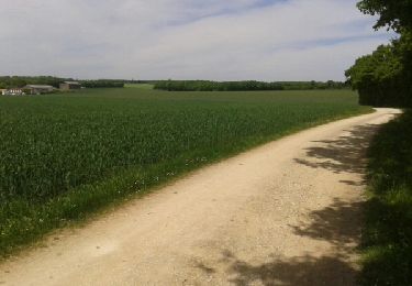
Senderismo
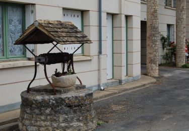
Senderismo
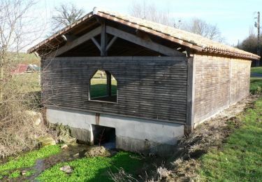
Senderismo
Senderismo

Senderismo
Senderismo
Senderismo
Senderismo