


11,8 km | 15,4 km-effort


Usuario


Aplicación GPS de excursión GRATIS
 SityTrail
IGN / Institutos geográficos
SityTrail World
El mundo es suyo
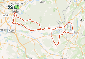
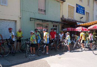
Ruta Bicicleta de 92 km a descubrir en Borgoña-Franco Condado, Jura, Dole. Esta ruta ha sido propuesta por albert39.
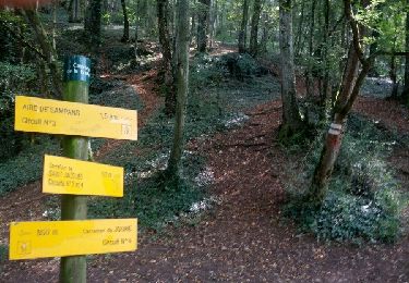
Circuit relevé avec de belle monté.Dole, Chatelay, Chamblay,St Cyr, Villers.Farlay,Cramans, Port.Lesney, Buffard, Arc et Senans, Montbarrey, La Vielle loye, Rf du Grand Contour et retour. 2ème partie (Port lesney) exigeante avec pas mal de bosse !

Senderismo
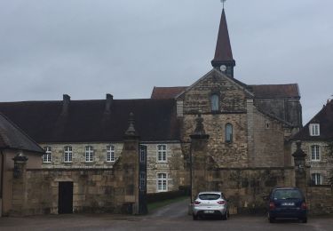
Senderismo
Bici de carretera
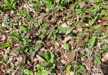
Senderismo
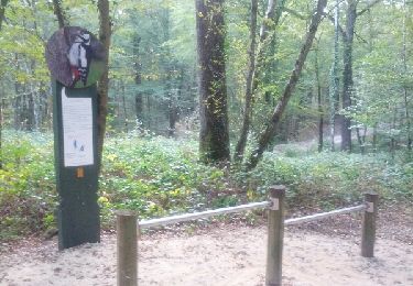
Senderismo
Senderismo
Bicicleta
Marcha nórdica