


15,1 km | 26 km-effort

Usuario


Aplicación GPS de excursión GRATIS
 SityTrail
IGN / Institutos geográficos
SityTrail World
El mundo es suyo
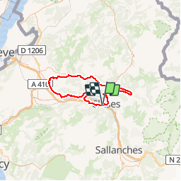
Ruta Bicicleta de 72 km a descubrir en Auvergne-Rhône-Alpes, Alta Saboya, Scionzier. Esta ruta ha sido propuesta por tracegps.
Départ de Cluses, direction Marignier. Première difficulté avec la côte d'Ayze puis descente sur Bonnevile. Seconde difficulté à la côte d'Hyot jusqu’à Faucigny. On prend la direction de St Jeoire puis on suit la vallée du Giffre jusqu'à Morillon. Dernière difficulté pour le retour, le col de Chatillon et descente sur Cluses.

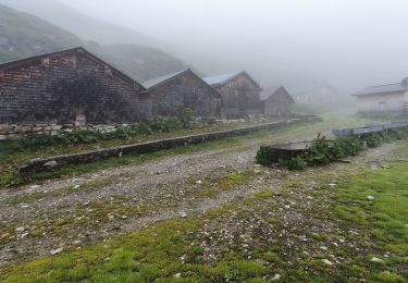
Senderismo
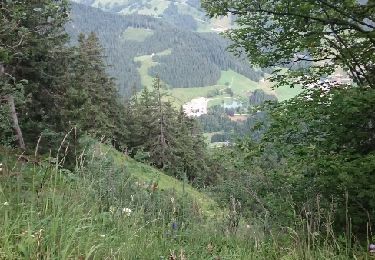
Senderismo
Senderismo
Senderismo
Senderismo
Senderismo
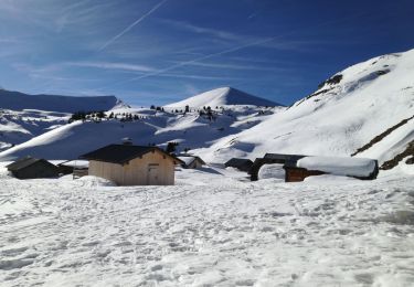
Raquetas de nieve
Senderismo
Otra actividad