![](/images/other/stat-length.png)
![Excursión Senderismo Saint-Aubin-sur-Gaillon - Brillehaut_ScarabeViolet - Photo](https://media.geolcdn.com/t/1900/400/ext.pjpeg?maxdim=2&url=https%3A%2F%2Fservices.sitytrail.com%2FGeolivesWS%2FDownloadMedia.ashx%3FTrailID%3D189065%26Media%3D9a66a7fb-a39c-4966-b6bd-3d848f6cf464.jpeg)
Brillehaut_ScarabeViolet
douneto
Usuario
![Longitud](/images/other/stat-length.png)
Longitud
5,6 km
![Altitud máxima](https://static1.geolcdn.com/siteimages/upload/files/1508320355ic_sort_altitude_max_24dp.png)
Altitud máxima
138 m
![Desnivel positivo](https://static1.geolcdn.com/siteimages/upload/files/1508320355ic_sort_den_pos_24dp.png)
Desnivel positivo
111 m
![Km-Effort](/images/other/stat-length.png)
Km-Effort
7,1 km
![Altitud mínima](https://static1.geolcdn.com/siteimages/upload/files/1508320355ic_sort_altitude_min_24dp.png)
Altitud mínima
46 m
![Desnivel negativo](https://static1.geolcdn.com/siteimages/upload/files/1508320355ic_sort_den_neg_24dp.png)
Desnivel negativo
119 m
![Boucle](https://static1.geolcdn.com/siteimages/upload/files/16400158638029165_repeat_loop_refresh_sync_direction_icon.png)
Boucle
Sí
Fecha de creación :
2019-04-30 14:33:24.816
Última modificación :
2019-04-30 14:33:25.295
![Senderismo](https://static1.geolcdn.com/sitytour/trail-icons/101.png)
1h30
Dificultad : Fácil
![Escanee este código QR para abrir la excursión en la aplicación SityTrail](https://capi.geolives.com/qq0zvz2zws4bq2lad0pu/sitytour/trails/189065/qr.png?size=200)
Aplicación GPS de excursión GRATIS
A propósito
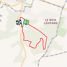
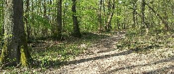
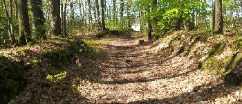
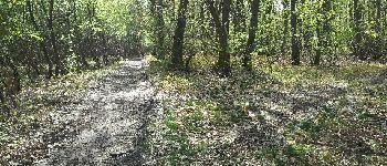
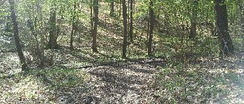
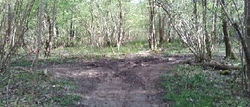
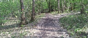
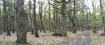
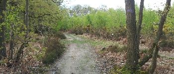
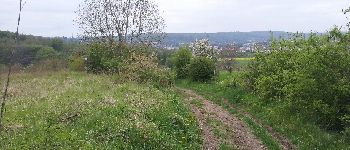
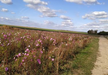
Ruta Senderismo de 5,6 km a descubrir en Normandía, Eure, Saint-Aubin-sur-Gaillon. Esta ruta ha sido propuesta por douneto.
Descripción
Rando Mai 2013
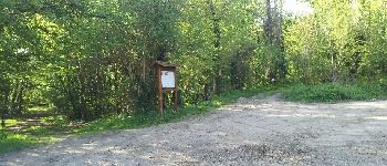
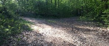
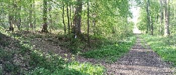
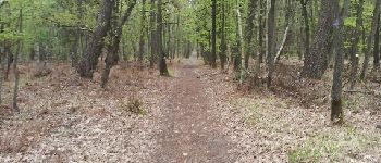
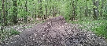
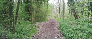
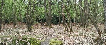
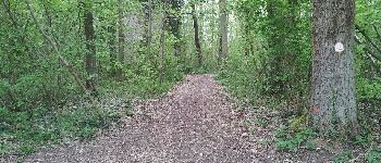
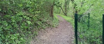
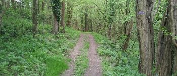
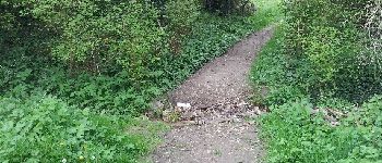
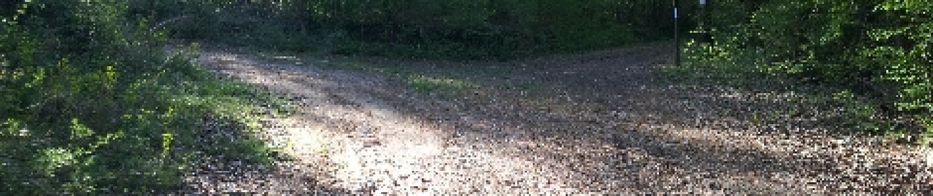
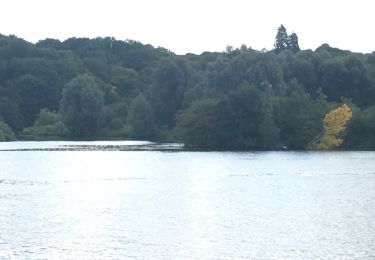
Forêt bien entretenue et agréable.
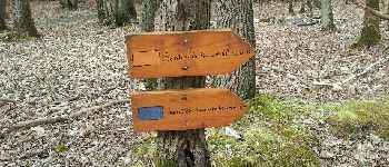
Balisage violet
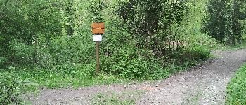
Accès Parking des Marnières sortie Jeufosse au pied de la côte des Rotoirs
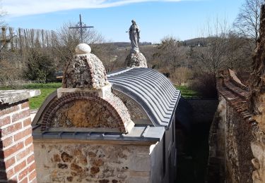
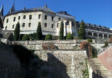
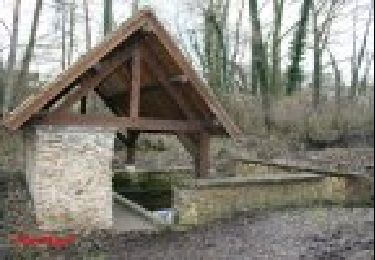
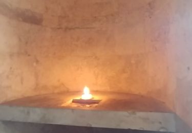
Puntos de interés
Localización
País:
France
Región :
Normandía
Departamento/provincia :
Eure
Municipio :
Saint-Aubin-sur-Gaillon
Localidad:
Unknown
Salida:(Dec)
Salida:(UTM)
379667 ; 5444586 (31U) N.
Comentarios
Excursiones cerca
![Excursión Senderismo Saint-Pierre-de-Bailleul - A la rencontre des lavoirs - Photo](https://media.geolcdn.com/t/375/260/b40e3295-f250-42fc-a673-b0658115f2e1.jpg&format=jpg&maxdim=2)
![Senderismo Senderismo](https://static1.geolcdn.com/sitytour/trail-icons/101.png)
A la rencontre des lavoirs
Senderismo
Medio
Saint-Pierre-de-Bailleul,
Normandía,
Eure,
France
![](/images/other/stat-length.png)
9,9 km | 12,6 km-effort
2h 50min
![](https://static1.geolcdn.com/siteimages/upload/files/16400158638029165_repeat_loop_refresh_sync_direction_icon.png)
Sí
![Excursión Senderismo Gaillon - Gaillon-StAubin-Brillehaut - Photo](https://media.geolcdn.com/t/375/260/ext.jpg?maxdim=2&url=https%3A%2F%2Fservices.sitytrail.com%2FGeolivesWS%2FDownloadMedia.ashx%3FTrailID%3D254321%26Media%3D0ff5fe82-437c-49ce-957a-1ddcf2ccee08.jpg)
![Senderismo Senderismo](https://static1.geolcdn.com/sitytour/trail-icons/101.png)
Gaillon-StAubin-Brillehaut
Senderismo
Medio
Gaillon,
Normandía,
Eure,
France
![](/images/other/stat-length.png)
11,3 km | 14,7 km-effort
3h 9min
![](https://static1.geolcdn.com/siteimages/upload/files/16400158638029165_repeat_loop_refresh_sync_direction_icon.png)
Sí
![Excursión Senderismo La Chapelle-Longueville - la chapelle réanville - Photo](https://media.geolcdn.com/t/375/260/f9bcd12b-63fc-4df9-b502-9a9a3c4cc611.jpg&format=jpg&maxdim=2)
![Senderismo Senderismo](https://static1.geolcdn.com/sitytour/trail-icons/101.png)
la chapelle réanville
Senderismo
Fácil
La Chapelle-Longueville,
Normandía,
Eure,
France
![](/images/other/stat-length.png)
17,6 km | 21 km-effort
1h 50min
![](https://static1.geolcdn.com/siteimages/upload/files/16400158638029165_repeat_loop_refresh_sync_direction_icon.png)
No
![Excursión Otra actividad La Chapelle-Longueville - de l hôtel des canisses - Photo](https://media.geolcdn.com/t/375/260/ext.jpg?maxdim=2&url=https%3A%2F%2Fservices.sitytrail.com%2FGeolivesWS%2FDownloadMedia.ashx%3FTrailID%3D803720%26Media%3D20170806110313.jpg)
![Otra actividad Otra actividad](https://static1.geolcdn.com/sitytour/trail-icons/900.png)
de l hôtel des canisses
Otra actividad
Fácil
La Chapelle-Longueville,
Normandía,
Eure,
France
![](/images/other/stat-length.png)
11,9 km | 14,3 km-effort
3h 48min
![](https://static1.geolcdn.com/siteimages/upload/files/16400158638029165_repeat_loop_refresh_sync_direction_icon.png)
Sí
![Excursión Senderismo La Chapelle-Longueville - La-Chapelle-Réanville - sentier des jeunes pousses - Photo](https://media.geolcdn.com/t/375/260/ext.jpg?maxdim=2&url=https%3A%2F%2Fservices.sitytrail.com%2FGeolivesWS%2FDownloadMedia.ashx%3FTrailID%3D193947%26Media%3D53527ce2-f2fd-4501-af1b-10a840265c71.jpg)
![Senderismo Senderismo](https://static1.geolcdn.com/sitytour/trail-icons/101.png)
La-Chapelle-Réanville - sentier des jeunes pousses
Senderismo
Fácil
La Chapelle-Longueville,
Normandía,
Eure,
France
![](/images/other/stat-length.png)
8,3 km | 9,8 km-effort
2h 9min
![](https://static1.geolcdn.com/siteimages/upload/files/16400158638029165_repeat_loop_refresh_sync_direction_icon.png)
Sí
![Excursión Senderismo Port-Mort - Port Mort et ses personnages célèbres - Photo](https://media.geolcdn.com/t/375/260/ext.jpg?maxdim=2&url=https%3A%2F%2Fstatic1.geolcdn.com%2Fsiteimages%2Fupload%2Ffiles%2F1553511878bg_sport_marche.png)
![Senderismo Senderismo](https://static1.geolcdn.com/sitytour/trail-icons/101.png)
Port Mort et ses personnages célèbres
Senderismo
Difícil
Port-Mort,
Normandía,
Eure,
France
![](/images/other/stat-length.png)
14,6 km | 17,6 km-effort
3h 59min
![](https://static1.geolcdn.com/siteimages/upload/files/16400158638029165_repeat_loop_refresh_sync_direction_icon.png)
Sí
![Excursión Senderismo Le Val d'Hazey - chapelle de Bethléem - Photo](https://media.geolcdn.com/t/375/260/0a09dd00-b132-47bf-ab2b-86cba5b4b440.jpg&format=jpg&maxdim=2)
![Senderismo Senderismo](https://static1.geolcdn.com/sitytour/trail-icons/101.png)
chapelle de Bethléem
Senderismo
Fácil
Le Val d'Hazey,
Normandía,
Eure,
France
![](/images/other/stat-length.png)
2,7 km | 3,9 km-effort
1h 40min
![](https://static1.geolcdn.com/siteimages/upload/files/16400158638029165_repeat_loop_refresh_sync_direction_icon.png)
Sí
![Excursión Senderismo Saint-Pierre-de-Bailleul - saint pierre de bailleul -ces lavoirs et chateaux - Photo](https://media.geolcdn.com/t/375/260/ext.jpg?maxdim=2&url=https%3A%2F%2Fstatic1.geolcdn.com%2Fsiteimages%2Fupload%2Ffiles%2F1553511878bg_sport_marche.png)
![Senderismo Senderismo](https://static1.geolcdn.com/sitytour/trail-icons/101.png)
saint pierre de bailleul -ces lavoirs et chateaux
Senderismo
Difícil
Saint-Pierre-de-Bailleul,
Normandía,
Eure,
France
![](/images/other/stat-length.png)
11,8 km | 15,1 km-effort
3h 25min
![](https://static1.geolcdn.com/siteimages/upload/files/16400158638029165_repeat_loop_refresh_sync_direction_icon.png)
Sí
![Excursión Senderismo Saint-Pierre-de-Bailleul - circuit des lavoirs - Photo](https://media.geolcdn.com/t/375/260/ext.jpg?maxdim=2&url=https%3A%2F%2Fstatic1.geolcdn.com%2Fsiteimages%2Fupload%2Ffiles%2F1553511878bg_sport_marche.png)
![Senderismo Senderismo](https://static1.geolcdn.com/sitytour/trail-icons/101.png)
circuit des lavoirs
Senderismo
Difícil
Saint-Pierre-de-Bailleul,
Normandía,
Eure,
France
![](/images/other/stat-length.png)
9,8 km | 12,4 km-effort
2h 49min
![](https://static1.geolcdn.com/siteimages/upload/files/16400158638029165_repeat_loop_refresh_sync_direction_icon.png)
Sí