14,4 km | 25 km-effort
Augstbordhorn [loop/boucle/Rundwand.]
pnoth
Usuario
Longitud
11,6 km
Altitud máxima
2951 m
Desnivel positivo
911 m
Km-Effort
24 km
Altitud mínima
2050 m
Desnivel negativo
912 m
Boucle
Sí
Fecha de creación :
2014-12-11 00:00:00.0
Última modificación :
2014-12-11 00:00:00.0
--
Dificultad : Desconocido
Aplicación GPS de excursión GRATIS
A propósito
Ruta Otra actividad de 11,6 km a descubrir en Vallés, Visp, Törbel. Esta ruta ha sido propuesta por pnoth.
Descripción
English: http://www.noth.ch/h0132_e.html
Français: http://www.noth.ch/h0132_f.html
Deutsch: http://www.noth.ch/h0132_d.html
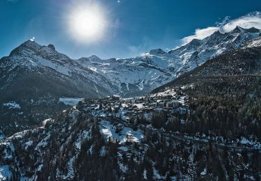
Localización
País:
Switzerland
Región :
Vallés
Departamento/provincia :
Visp
Municipio :
Törbel
Localidad:
Unknown
Salida:(Dec)
Salida:(UTM)
409763 ; 5122635 (32T) N.
Comentarios
Excursiones cerca
Circuit Zeneggen - Toerbel - chemin panoramique 05.2019
Senderismo
Difícil
Zeneggen,
Vallés,
Visp,
Switzerland
10,7 km | 16,9 km-effort
3h 29min
Sí
text_eve2
Otra actividad
Muy fácil
Visp,
Vallés,
Visp,
Switzerland
10,9 km | 20 km-effort
5h 20min
No
Tour du Mont Rose - Jour 1 - Grächen - Saas Fee
Senderismo
Medio
Grächen,
Vallés,
Visp,
Switzerland
18,2 km | 30 km-effort
5h 25min
No
YHH072 Grächen - Wannehorn
Senderismo
Muy fácil
Grächen,
Vallés,
Visp,
Switzerland
11,1 km | 21 km-effort
6h 0min
No
J6 Chemib d'altitude Gsponer Höhenweg
Senderismo
Muy fácil
(1)
Stalden (VS),
Vallés,
Visp,
Switzerland
17,2 km | 38 km-effort
8h 6min
No