


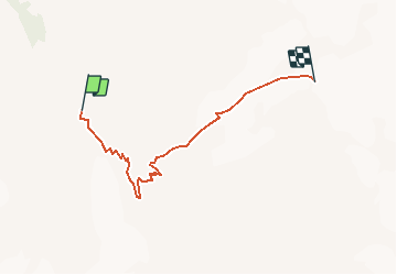

11,8 km | 22 km-effort


Usuario


Aplicación GPS de excursión GRATIS
 SityTrail
IGN / Institutos geográficos
SityTrail World
El mundo es suyo
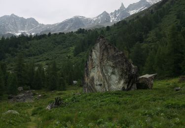
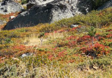
Ruta Otra actividad de 5 km a descubrir en Vallés, Hérens, Evolène. Esta ruta ha sido propuesta por pnoth.
English: http://www.noth.ch/h0101_e.html
Français: http://www.noth.ch/h0101_f.html
Deutsch: http://www.noth.ch/h0101_d.html

Senderismo
Senderismo
Senderismo

Deportes de invierno
Otra actividad
Senderismo
Senderismo
Marcha nórdica
Marcha nórdica