


9,8 km | 21 km-effort


Usuario


Aplicación GPS de excursión GRATIS
 SityTrail
IGN / Institutos geográficos
SityTrail World
El mundo es suyo
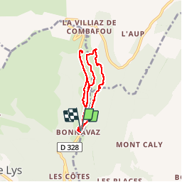
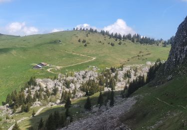
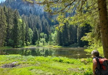
Ruta Raquetas de nieve de 7,9 km a descubrir en Auvergne-Rhône-Alpes, Alta Saboya, Taninges. Esta ruta ha sido propuesta por enthalpie.
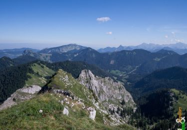
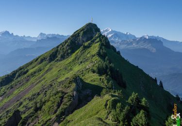
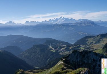
après un on repas observation des chamois pour clôturer une semaine en beauté
Senderismo
Senderismo
Senderismo
Senderismo
Senderismo
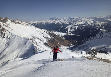
Esquí de fondo

Senderismo
Senderismo
Senderismo