


4,3 km | 5 km-effort

Usuario


Aplicación GPS de excursión GRATIS
 SityTrail
IGN / Institutos geográficos
SityTrail World
El mundo es suyo
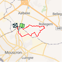
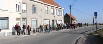
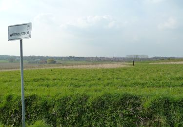
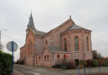
Ruta Senderismo de 8,5 km a descubrir en Valonia, Henao, Mouscron. Esta ruta ha sido propuesta por jacques.moulin@hotmail.com.
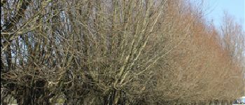
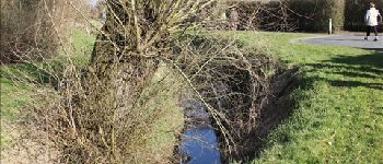
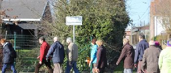
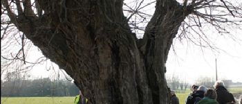
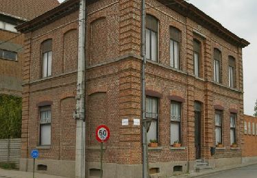
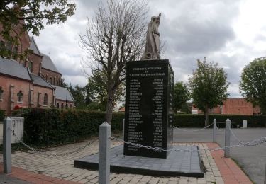
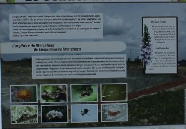
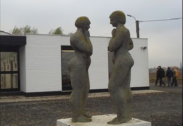
Du Petit Cornil, on rejoint la rue de la Royenne pour remonter jusqu''en Flandre. En passant par le Piro Lannoy, on rejoint Rollegem en empruntant divers sentiers dallés. Après le centre sportif, on reprend plein Ouest et toujours par des sentiers dallés on remonte progressivement jusqu''à l''arrière des Ets Depoortere avant de rejoindre notre point de départ.


A pie
A pie
A pie

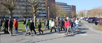
Senderismo
Senderismo
Senderismo
Senderismo

Bici de carretera