


12,2 km | 28 km-effort


Usuario


Aplicación GPS de excursión GRATIS
 SityTrail
IGN / Institutos geográficos
SityTrail World
El mundo es suyo
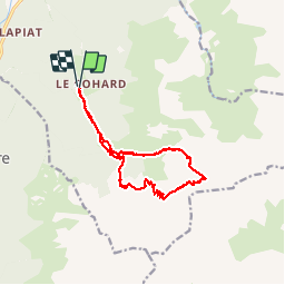
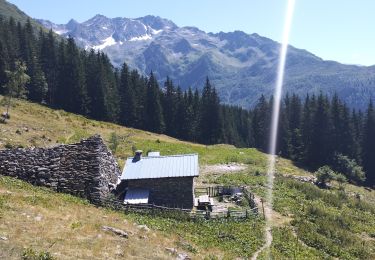
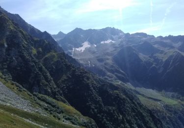
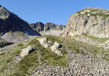
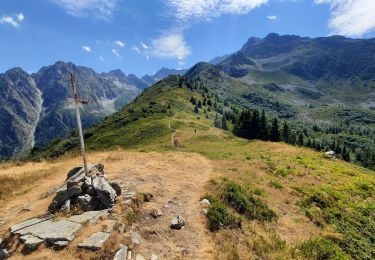
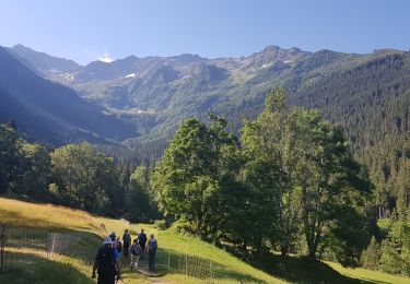
Ruta Deportes de invierno de 16,9 km a descubrir en Auvergne-Rhône-Alpes, Isère, Le Haut-Bréda. Esta ruta ha sido propuesta por philmascio.
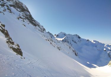
Ski de rando:
Couloir du Pertuis en boucle par le col de Moretan.
Départ: Gleyzin - La Bourgeat Noire

Senderismo
Senderismo
Esquí de fondo
Senderismo
Senderismo
Senderismo
Senderismo
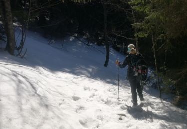
Raquetas de nieve

A pie