


2,7 km | 3,4 km-effort


Usuario


Aplicación GPS de excursión GRATIS
 SityTrail
IGN / Institutos geográficos
SityTrail World
El mundo es suyo
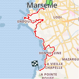
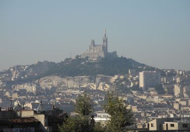
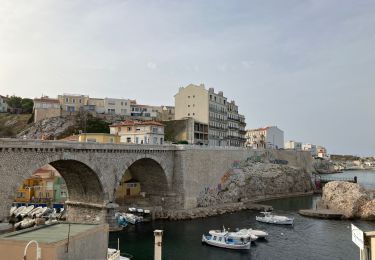
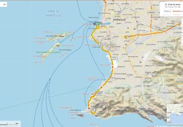
Ruta Senderismo de 15,3 km a descubrir en Provenza-Alpes-Costa Azul, Bocas del Ródano, Marsella. Esta ruta ha sido propuesta por jmheydorff.
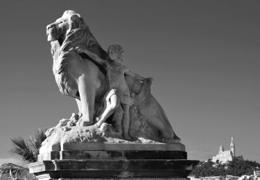
Pkg Estienne d''Orves - Vieux Port Quai Rive neuve - Abbaye St Victor - Corniche de Samatan - Vallon des Auffes - Bompard - ND de la Garde - Roucas Blanc - Plage du Prophète - Montée de la Batterie - Corniche Kennedy - Plages du Prado - Parc Borély - Hyppodrome Borély - Plage et Espace Borély - Plage de Pointe rouge - Port de pointe Rouge - Navette 100 personnes (toutes les heures piles)- Vieux Port 40 mn après (tarif 3 €)- Arrivée quai des belges (ou de la fraternité) sur le Vieux Port - peu de Toilettes sur le parcours: palais du pharo ou Plage des Catalans (petit détour),ND de la Garde, Plage du Prophète, Plages du prado ( l''Huveaune), Parc et Plage Borély, Port de la Pointe Rouge -15 kms 300m 5h30 à 6h00
Senderismo
Senderismo
Senderismo
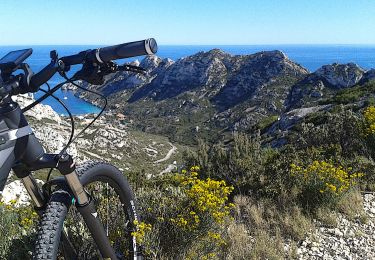
Bici de montaña
Senderismo
Senderismo
Senderismo
Senderismo
Bici de carretera