


12,4 km | 18,4 km-effort

Usuario


Aplicación GPS de excursión GRATIS
 SityTrail
IGN / Institutos geográficos
SityTrail World
El mundo es suyo
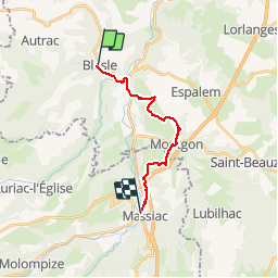
Ruta Senderismo de 13,7 km a descubrir en Auvergne-Rhône-Alpes, Alto Loira, Blesle. Esta ruta ha sido propuesta por tracegps.
Etape 6 de la Via Arverna, chemin de Saint Jacques de Compostelle entre Clermont-Ferrand et Cahors. Etape la plus courte de la Via Arverna. Vous quitterez la Haute-Loire pour rejoindre le pays de Massiac, porte d'entrée du département du Cantal. Traversée par 2 plateaux pour rejoindre une zone marécageuse. Possibilité de faire un crochet à la chapelle Sainte-Madeleine pour son point de vue. Passage de plusieurs villages avant d'atteindre l'office de tourisme de Massiac. Globalement, on peut parler d'une courte étape de moyenne montagne. Retrouvez l'étape n° 6 sur le site de la «Via Arverna - chemin Saint-Jacques-de-Compostelle» ainsi qu'ICI sur le site de la « Via Arverna ».
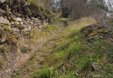
 - Photo 1")
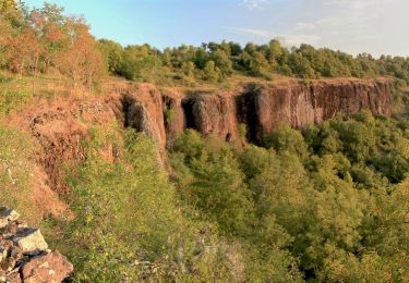
 - Photo 2")
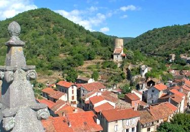
 - Photo 3")
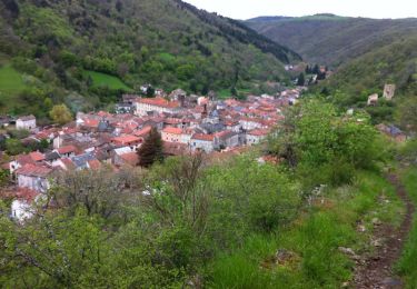
 - Photo 4")
 - Photo 5")
 - Photo 6")
A pie
Senderismo

Senderismo
Senderismo
Senderismo
Senderismo
Senderismo

Senderismo

Senderismo