


13,6 km | 17,5 km-effort

Usuario


Aplicación GPS de excursión GRATIS
 SityTrail
IGN / Institutos geográficos
SityTrail World
El mundo es suyo
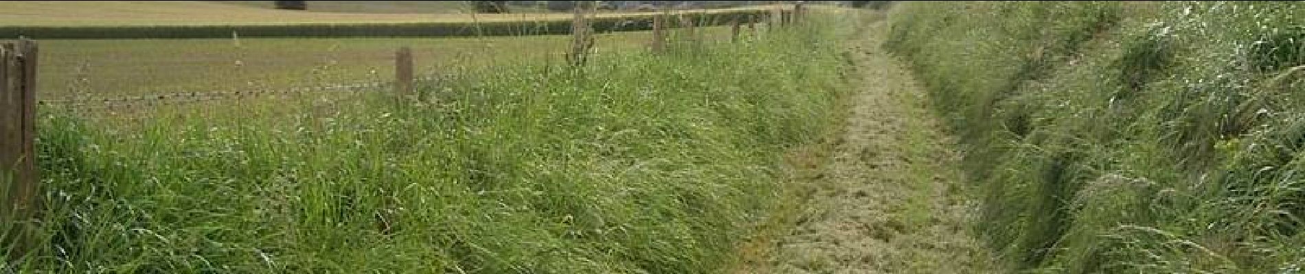
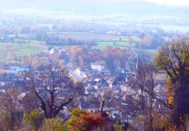
Ruta Senderismo de 12,1 km a descubrir en Normandía, Sena-Marítimo, Bailleul-Neuville. Esta ruta ha sido propuesta por tracegps.
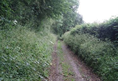
Circuit proposé par le syndicat d'initiative de Londinières. Départ du centre du village, à l'église Saint-Waast et sa tour-clocher carrée avec un appareillage en arêtes de poisson.


Senderismo
Senderismo
Senderismo
Bicicleta
Bici de montaña
Bici de montaña

Bici de montaña
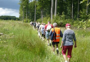
Senderismo
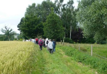
Senderismo