![](/images/other/stat-length.png)
![Excursión Senderismo Béthonsart - Bethonsart Caucourt Mingoval - Photo](https://media.geolcdn.com/t/1900/400/ext.pjpeg?maxdim=2&url=https%3A%2F%2Fservices.sitytrail.com%2FGeolivesWS%2FDownloadMedia.ashx%3FTrailID%3D172318%26Media%3D13641_3.jpg)
Bethonsart Caucourt Mingoval
tracegps
Usuario
![Longitud](/images/other/stat-length.png)
Longitud
11,7 km
![Altitud máxima](https://static1.geolcdn.com/siteimages/upload/files/1508320355ic_sort_altitude_max_24dp.png)
Altitud máxima
156 m
![Desnivel positivo](https://static1.geolcdn.com/siteimages/upload/files/1508320355ic_sort_den_pos_24dp.png)
Desnivel positivo
105 m
![Km-Effort](/images/other/stat-length.png)
Km-Effort
13,2 km
![Altitud mínima](https://static1.geolcdn.com/siteimages/upload/files/1508320355ic_sort_altitude_min_24dp.png)
Altitud mínima
94 m
![Desnivel negativo](https://static1.geolcdn.com/siteimages/upload/files/1508320355ic_sort_den_neg_24dp.png)
Desnivel negativo
109 m
![Boucle](https://static1.geolcdn.com/siteimages/upload/files/16400158638029165_repeat_loop_refresh_sync_direction_icon.png)
Boucle
Sí
Fecha de creación :
2014-12-10 00:00:00.0
Última modificación :
2014-12-10 00:00:00.0
![Senderismo](https://static1.geolcdn.com/sitytour/trail-icons/101.png)
2h30
Dificultad : Medio
![Escanee este código QR para abrir la excursión en la aplicación SityTrail](https://capi.geolives.com/qq0zvz2zws4bq2lad0pu/sitytour/trails/172318/qr.png?size=200)
Aplicación GPS de excursión GRATIS
A propósito
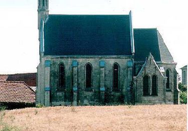
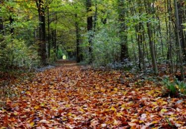
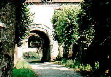
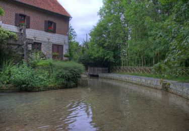
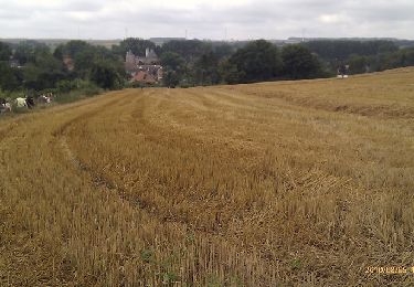
Ruta Senderismo de 11,7 km a descubrir en Alta Francia, Paso de Calais, Béthonsart. Esta ruta ha sido propuesta por tracegps.
Descripción
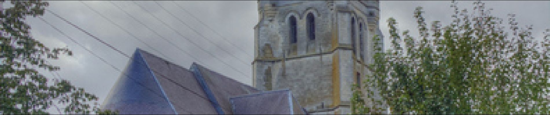
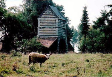
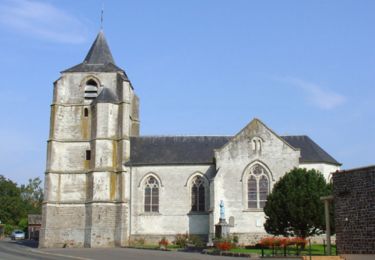
Beau parcours qui emprunte des chemins creux sur Caucourt (à faire par beau temps) et le gué de Caucourt.
Localización
País:
France
Región :
Alta Francia
Departamento/provincia :
Paso de Calais
Municipio :
Béthonsart
Localidad:
Unknown
Salida:(Dec)
Salida:(UTM)
468135 ; 5580502 (31U) N.
Comentarios
Excursiones cerca
![Excursión Senderismo Magnicourt-en-Comte - Chemin de la vallée des prêtres (Magnicourt-en-Comte) - Photo](https://media.geolcdn.com/t/375/260/ext.jpg?maxdim=2&url=https%3A%2F%2Fservices.sitytrail.com%2FGeolivesWS%2FDownloadMedia.ashx%3FTrailID%3D109849%26Media%3D4820_5.jpg)
![Senderismo Senderismo](https://static1.geolcdn.com/sitytour/trail-icons/101.png)
Chemin de la vallée des prêtres (Magnicourt-en-Comte)
Senderismo
Fácil
Magnicourt-en-Comte,
Alta Francia,
Paso de Calais,
France
![](/images/other/stat-length.png)
4,6 km | 5,6 km-effort
1h 15min
![](https://static1.geolcdn.com/siteimages/upload/files/16400158638029165_repeat_loop_refresh_sync_direction_icon.png)
Sí
![Excursión Senderismo Villers-Châtel - Chemin de la charbonnière (Villers-Châtel) - Photo](https://media.geolcdn.com/t/375/260/ext.jpg?maxdim=2&url=https%3A%2F%2Fservices.sitytrail.com%2FGeolivesWS%2FDownloadMedia.ashx%3FTrailID%3D109843%26Media%3D4814_5.jpg)
![Senderismo Senderismo](https://static1.geolcdn.com/sitytour/trail-icons/101.png)
Chemin de la charbonnière (Villers-Châtel)
Senderismo
Medio
Villers-Châtel,
Alta Francia,
Paso de Calais,
France
![](/images/other/stat-length.png)
11,8 km | 13,4 km-effort
3h 0min
![](https://static1.geolcdn.com/siteimages/upload/files/16400158638029165_repeat_loop_refresh_sync_direction_icon.png)
Sí
![Excursión Senderismo Gauchin-Légal - Vieux cailloux et patois - Photo](https://media.geolcdn.com/t/375/260/ext.jpg?maxdim=2&url=https%3A%2F%2Fservices.sitytrail.com%2FGeolivesWS%2FDownloadMedia.ashx%3FTrailID%3D108116%26Media%3D133_6.jpg)
![Senderismo Senderismo](https://static1.geolcdn.com/sitytour/trail-icons/101.png)
Vieux cailloux et patois
Senderismo
Difícil
(2)
Gauchin-Légal,
Alta Francia,
Paso de Calais,
France
![](/images/other/stat-length.png)
26 km | 31 km-effort
5h 30min
![](https://static1.geolcdn.com/siteimages/upload/files/16400158638029165_repeat_loop_refresh_sync_direction_icon.png)
Sí
![Excursión Senderismo Cambligneul - Cambigneul - Villers Chatel - Mingoval - Caucourt - Estée Cauchy - Photo](https://media.geolcdn.com/t/375/260/ext.jpg?maxdim=2&url=https%3A%2F%2Fservices.sitytrail.com%2FGeolivesWS%2FDownloadMedia.ashx%3FTrailID%3D107206%26Media%3D12065_4.jpg)
![Senderismo Senderismo](https://static1.geolcdn.com/sitytour/trail-icons/101.png)
Cambigneul - Villers Chatel - Mingoval - Caucourt - Estée Cauchy
Senderismo
Medio
Cambligneul,
Alta Francia,
Paso de Calais,
France
![](/images/other/stat-length.png)
9,9 km | 11,1 km-effort
2h 0min
![](https://static1.geolcdn.com/siteimages/upload/files/16400158638029165_repeat_loop_refresh_sync_direction_icon.png)
Sí
![Excursión Senderismo Gauchin-Légal - Autour du golf d'Olhain - Gauchin Légal - Photo](https://media.geolcdn.com/t/375/260/ext.jpg?maxdim=2&url=https%3A%2F%2Fservices.sitytrail.com%2FGeolivesWS%2FDownloadMedia.ashx%3FTrailID%3D172977%26Media%3D14467_2.jpg)
![Senderismo Senderismo](https://static1.geolcdn.com/sitytour/trail-icons/101.png)
Autour du golf d'Olhain - Gauchin Légal
Senderismo
Medio
Gauchin-Légal,
Alta Francia,
Paso de Calais,
France
![](/images/other/stat-length.png)
8,1 km | 10,2 km-effort
2h 0min
![](https://static1.geolcdn.com/siteimages/upload/files/16400158638029165_repeat_loop_refresh_sync_direction_icon.png)
Sí
![Excursión Senderismo Chelers - Chemin des Bosquets (Chelers) - Photo](https://media.geolcdn.com/t/375/260/ext.jpg?maxdim=2&url=https%3A%2F%2Fservices.sitytrail.com%2FGeolivesWS%2FDownloadMedia.ashx%3FTrailID%3D109850%26Media%3D4821_2.jpg)
![Senderismo Senderismo](https://static1.geolcdn.com/sitytour/trail-icons/101.png)
Chemin des Bosquets (Chelers)
Senderismo
Difícil
Chelers,
Alta Francia,
Paso de Calais,
France
![](/images/other/stat-length.png)
14,7 km | 16,5 km-effort
3h 45min
![](https://static1.geolcdn.com/siteimages/upload/files/16400158638029165_repeat_loop_refresh_sync_direction_icon.png)
Sí
![Excursión Senderismo Gauchin-Légal - En passant par le gué de Caucourt - Photo](https://media.geolcdn.com/t/375/260/ext.jpg?maxdim=2&url=https%3A%2F%2Fservices.sitytrail.com%2FGeolivesWS%2FDownloadMedia.ashx%3FTrailID%3D106995%26Media%3D11783_2.jpg)
![Senderismo Senderismo](https://static1.geolcdn.com/sitytour/trail-icons/101.png)
En passant par le gué de Caucourt
Senderismo
Medio
(2)
Gauchin-Légal,
Alta Francia,
Paso de Calais,
France
![](/images/other/stat-length.png)
9,1 km | 10,3 km-effort
2h 0min
![](https://static1.geolcdn.com/siteimages/upload/files/16400158638029165_repeat_loop_refresh_sync_direction_icon.png)
Sí
![Excursión Senderismo Gauchin-Légal - Gauchin le Gal - Tour du golf d'Olhain - Photo](https://media.geolcdn.com/t/375/260/ext.jpg?maxdim=2&url=https%3A%2F%2Fservices.sitytrail.com%2FGeolivesWS%2FDownloadMedia.ashx%3FTrailID%3D105405%26Media%3D9117_1.jpg)
![Senderismo Senderismo](https://static1.geolcdn.com/sitytour/trail-icons/101.png)
Gauchin le Gal - Tour du golf d'Olhain
Senderismo
Medio
Gauchin-Légal,
Alta Francia,
Paso de Calais,
France
![](/images/other/stat-length.png)
8 km | 10 km-effort
1h 40min
![](https://static1.geolcdn.com/siteimages/upload/files/16400158638029165_repeat_loop_refresh_sync_direction_icon.png)
Sí
![Excursión Bici de montaña Tincques - Rando_Tincques2012 - Photo](https://media.geolcdn.com/t/375/260/ext.jpg?maxdim=2&url=https%3A%2F%2Fstatic1.geolcdn.com%2Fsiteimages%2Fupload%2Ffiles%2F1524743154velo.jpg)
![Bici de montaña Bici de montaña](https://static1.geolcdn.com/sitytour/trail-icons/202.png)
Rando_Tincques2012
Bici de montaña
Medio
Tincques,
Alta Francia,
Paso de Calais,
France
![](/images/other/stat-length.png)
71 km | 81 km-effort
Desconocido
![](https://static1.geolcdn.com/siteimages/upload/files/16400158638029165_repeat_loop_refresh_sync_direction_icon.png)
Sí