


27 km | 32 km-effort


Usuario


Aplicación GPS de excursión GRATIS
 SityTrail
IGN / Institutos geográficos
SityTrail World
El mundo es suyo
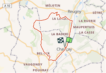
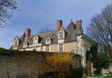
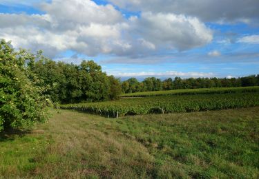
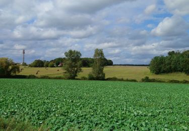
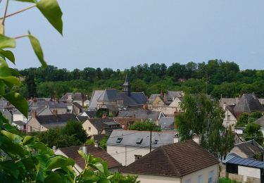
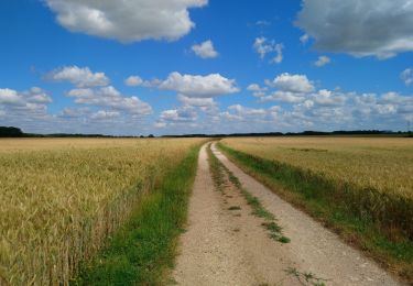
Ruta Senderismo de 14,1 km a descubrir en Centro, Indre y Loira, Chançay. Esta ruta ha sido propuesta por LEMENIO.
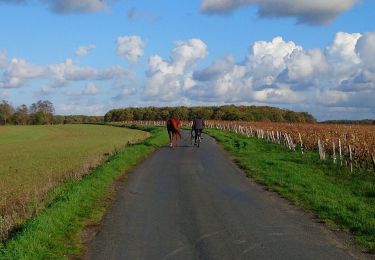
Départ depuis la salle communale. Pour le sens de la rando, tourner à droite au 2ème virage en début de rando, c'est à dire lorsque vous arrivez sur l'ancienne voie ferrée.
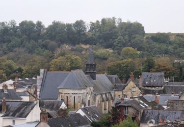
Senderismo
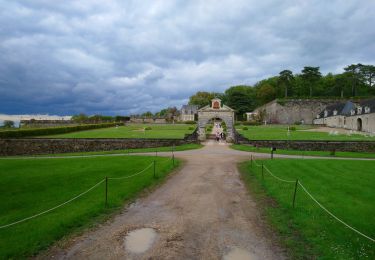
Senderismo
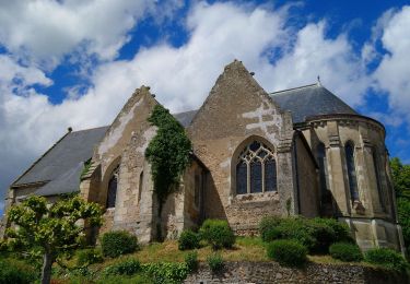
Senderismo
Senderismo
Senderismo
Senderismo
Senderismo
Senderismo
Senderismo