


14,2 km | 15,7 km-effort


Usuario


Aplicación GPS de excursión GRATIS
 SityTrail
IGN / Institutos geográficos
SityTrail World
El mundo es suyo
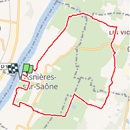
Ruta Senderismo de 10,3 km a descubrir en Auvergne-Rhône-Alpes, Ain, Asnières-sur-Saône. Esta ruta ha sido propuesta por robertdurand.
RANDONNÉE au PAYS de BÄGÉ: ce circuit dans la prairie d'Asnières-sur-Saône vous fera longer le bord de Saône avec vue sur les collines du Mâconnais et vous découvrirez l'étang des Frettes ainsi que la prairie du val de Saône.
Vous aurez la possibilité de vous promener au centre du village fleuri où vous pourrez y découvrir un calvaire de même que l'église récemment rénovée.
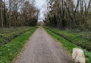
Senderismo
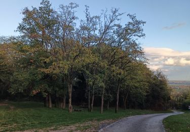
Senderismo
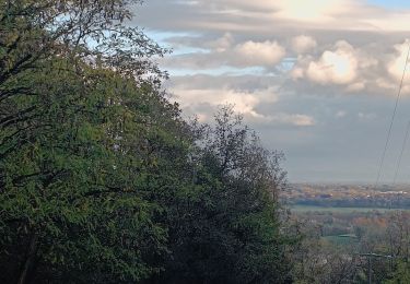
Senderismo

Senderismo


sport
Senderismo
Senderismo

Paseo ecuestre