


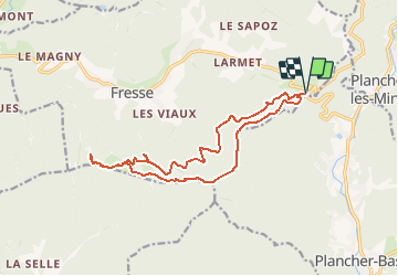

14,6 km | 23 km-effort


Usuario


Aplicación GPS de excursión GRATIS
 SityTrail
IGN / Institutos geográficos
SityTrail World
El mundo es suyo
Ruta Senderismo de 15,2 km a descubrir en Borgoña-Franco Condado, Alto Saona, Fresse. Esta ruta ha sido propuesta por ballet.
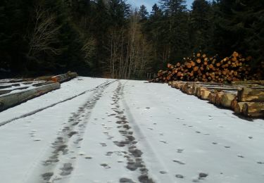
Tout en sous-bois au milieu de hètres mais aussi des souvenir des combats de la libération de 1944.

Senderismo

Senderismo

Senderismo

Senderismo

Senderismo

Senderismo
Senderismo
Senderismo
Senderismo