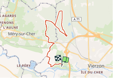

46 km | 51 km-effort


Usuario


Aplicación GPS de excursión GRATIS
 SityTrail
IGN / Institutos geográficos
SityTrail World
El mundo es suyo
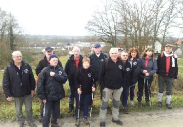
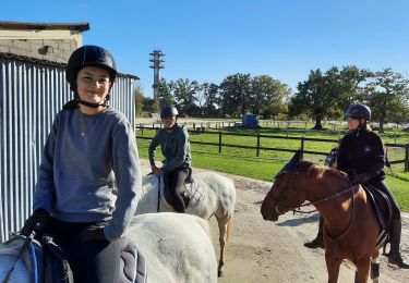
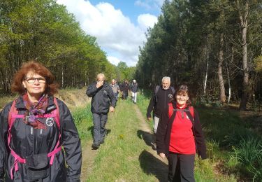
Ruta Caballo de 20 km a descubrir en Centro, Cher, Vierzon. Esta ruta ha sido propuesta por Orage.
Boucle de 20 km.
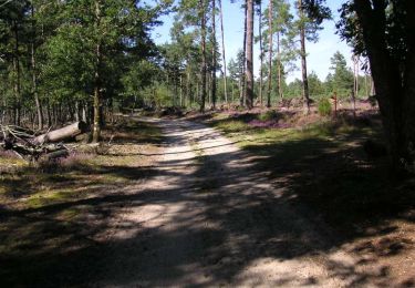
Une traversée de la voie ferrée et de la route de Tours... pour accéder aux couleurs d'automne de la forêt domaniale.
Senderismo


Senderismo

Senderismo
Caballo
Senderismo

Bici de montaña