


15 km | 24 km-effort


Usuario


Aplicación GPS de excursión GRATIS
 SityTrail
IGN / Institutos geográficos
SityTrail World
El mundo es suyo
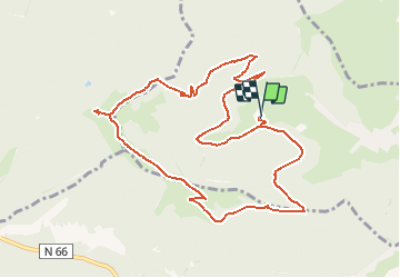
Ruta Senderismo de 11,2 km a descubrir en Gran Este, Alto Rin, Fellering. Esta ruta ha sido propuesta por fab68470.
Depuis le rammersbach à Fellering, Hasenkopf 4.8KM 542m
Drumont 5.8km 583m
Gustiberg 7.8km -373m
Rammersbach 11.2Km-647

Senderismo

Senderismo
Senderismo

Senderismo
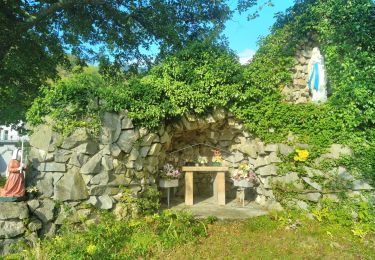
Senderismo
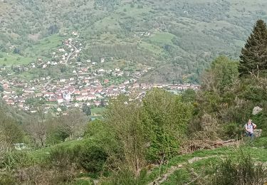
Senderismo


Senderismo
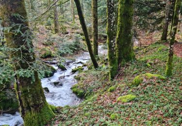
Senderismo