


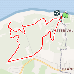


10,9 km | 14 km-effort

Usuario GUIDE


Aplicación GPS de excursión GRATIS
 SityTrail
IGN / Institutos geográficos
SityTrail World
El mundo es suyo
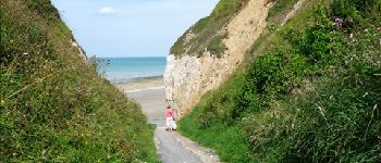
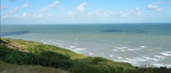
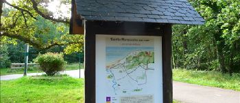
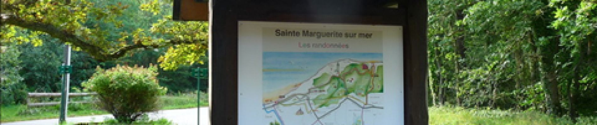
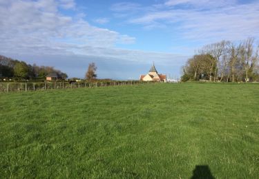
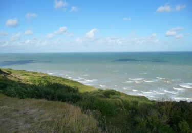
Ruta Senderismo de 5,3 km a descubrir en Normandía, Sena-Marítimo, Varengeville-sur-Mer. Esta ruta ha sido propuesta por Desrumaux.
Détails de la rando sur le site TraceGPS.com http://www.tracegps.com/fr/parcours/circuit14085.htm


Senderismo

Senderismo

Senderismo
Senderismo
Senderismo
Senderismo


sport
Senderismo
Senderismo