


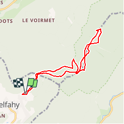

14,6 km | 23 km-effort


Usuario


Aplicación GPS de excursión GRATIS
 SityTrail
IGN / Institutos geográficos
SityTrail World
El mundo es suyo
Ruta Raquetas de nieve de 7,5 km a descubrir en Borgoña-Franco Condado, Alto Saona, Belfahy. Esta ruta ha sido propuesta por ballet.
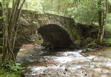
Les hetres sont somptueux avec leur livrée blanche de neige. Si le temps le permet les alpes suisses se dévoillent à vous!

Senderismo

Senderismo

Senderismo

Senderismo

Senderismo

Senderismo

Senderismo
Senderismo
Senderismo