


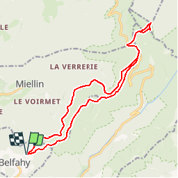

14,6 km | 23 km-effort


Usuario


Aplicación GPS de excursión GRATIS
 SityTrail
IGN / Institutos geográficos
SityTrail World
El mundo es suyo
Ruta Senderismo de 17,5 km a descubrir en Borgoña-Franco Condado, Alto Saona, Belfahy. Esta ruta ha sido propuesta por ballet.
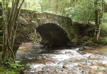
Même si le tracé emprunte en grande partie le GR, le sentier n'est pas large et est bordé de ronces donc pantalons recommandés

Senderismo

Senderismo

Senderismo

Senderismo

Senderismo

Senderismo

Senderismo
Senderismo
Senderismo