


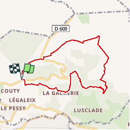

10,6 km | 14,6 km-effort

Usuario


Aplicación GPS de excursión GRATIS
 SityTrail
IGN / Institutos geográficos
SityTrail World
El mundo es suyo
Ruta Senderismo de 9,2 km a descubrir en Auvergne-Rhône-Alpes, Puy-de-Dôme, Murat-le-Quaire. Esta ruta ha sido propuesta por vegaligth.
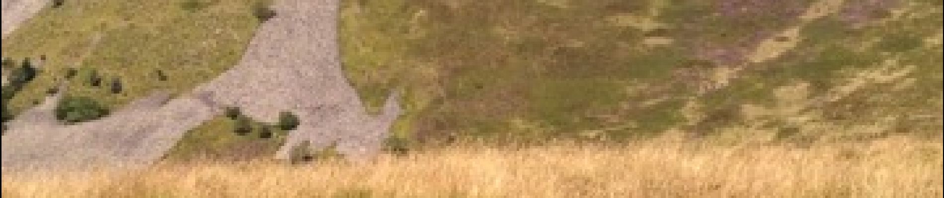
Départ parking au dessus de Murat suivre balisage PR10 en forêt pour le début pour déboucher ensuite sur les crêtes.


Senderismo

Senderismo

Senderismo

Senderismo

Senderismo

Senderismo

Senderismo

A pie
A pie
trop bien