


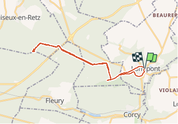


17,5 km | 21 km-effort

forêts de France


Aplicación GPS de excursión GRATIS
 SityTrail
IGN / Institutos geográficos
SityTrail World
El mundo es suyo
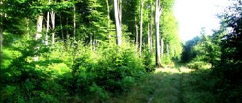
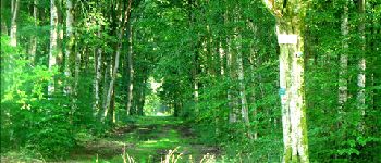
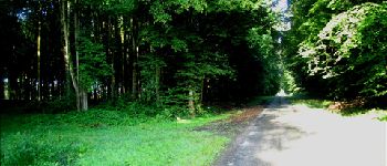
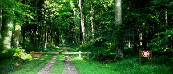
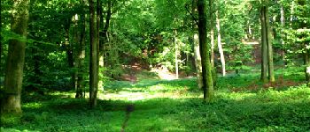
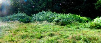
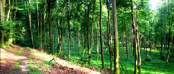
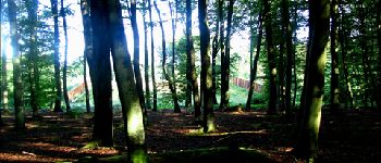
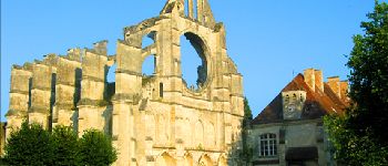
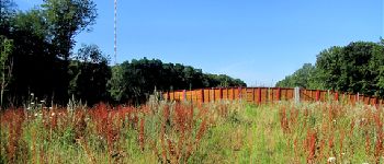
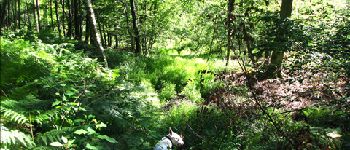
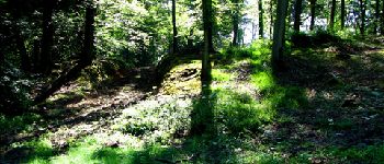
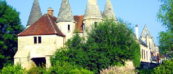
Ruta Senderismo de 16,1 km a descubrir en Alta Francia, Aisne, Longpont. Esta ruta ha sido propuesta por en forêt de Retz.
voir aussi:
http://foret-de-retz.over-blog.com/
08/2012
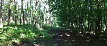
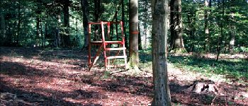
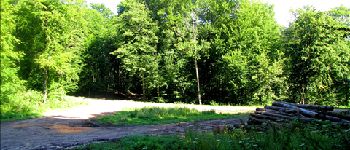
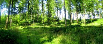
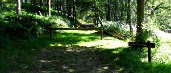
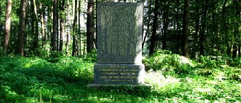
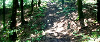
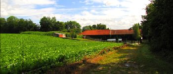
A partir de Longpont, prendre le GR11A puis le vieux chemin de Longpont, tourner au carrefour Bosc dans la laie des grands Charmes. Au carrefour des écuries, prendre la route de Chavigny jusqu''au carrefour de Chavigny. Prendre la laie des monthieux, traverser le pont de la N2 puis rejoindre le carrefour des têtes salmon et enfin le monument du général Mangin. Et retour en terminant par la D2 jusqu''à Longpont.


25 fotos en total. Haga clic en una foto para mostrarlas todas en la galería.

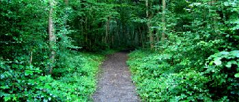
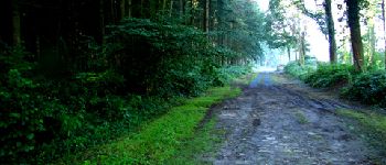
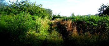
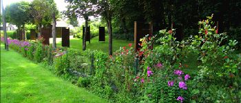
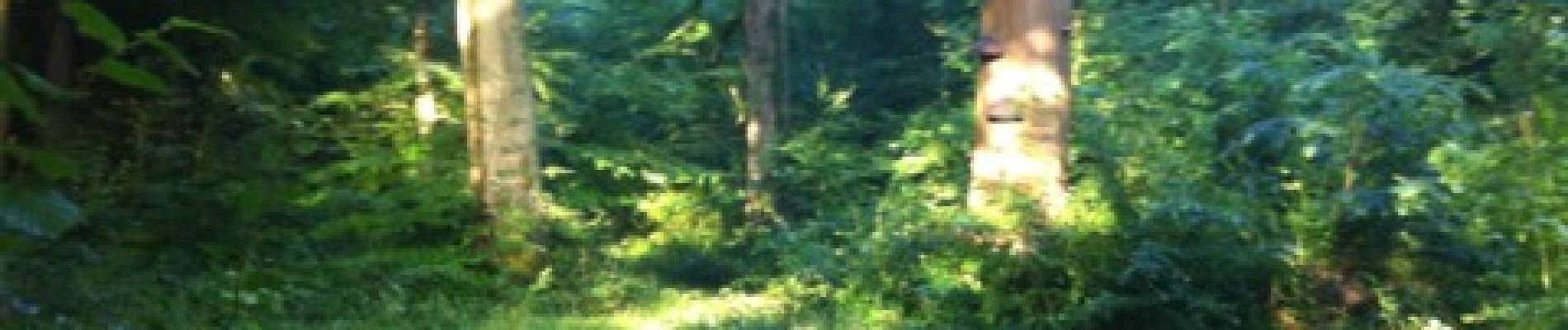
Senderismo

Senderismo

Senderismo

A pie

A pie

Senderismo

Senderismo

Senderismo

Senderismo