


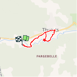

13,6 km | 23 km-effort

Usuario


Aplicación GPS de excursión GRATIS
 SityTrail
IGN / Institutos geográficos
SityTrail World
El mundo es suyo
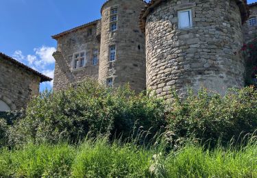
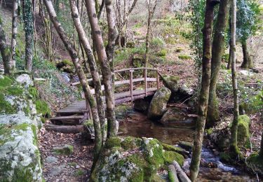
Ruta Senderismo de 5,7 km a descubrir en Auvergne-Rhône-Alpes, Ardecha, Thueyts. Esta ruta ha sido propuesta por philoustetou.
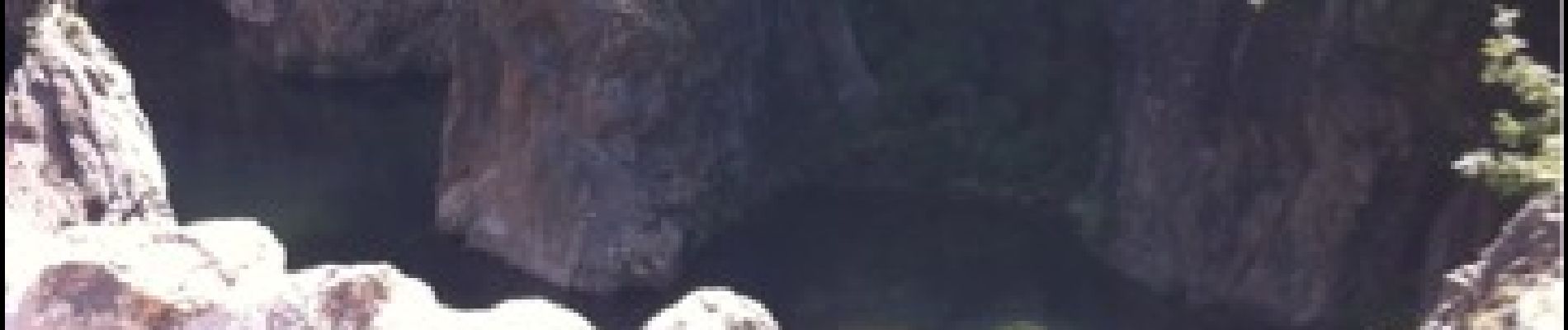
En partant du camping de Belos ou de Thueyts, l'escalier de la Reine, le pont du diable et l'échelle du Roi, une cassure dans le basalte assez difficile pour les personnes sujettes au vertige.


Senderismo

Senderismo

Senderismo
Senderismo

Senderismo

sport

Senderismo
Senderismo
Senderismo